
What is recorded here
Castle occupied the north end of a long drumlin ridge southeast of Cavan Town, probably an O'Reilly stronghold dating from the late 14th century. Destroyed by the English in 1427, it reappeared in early 17th-century accounts and survived as low banks when Davies visited in 1946. The fair green now covers the site, erasing the square bawn, corner turrets and western door recorded in 1591. What remains is a absence shaped like a castle, large enough to hold festivals and memories.
Formerly situated at the N end of a long drumlin ridge to SE of Cavan Town. Site is now occupied by a fair green. Probably an O'Reilly castle of late 14th-century date, first mentioned in 1427 when it was destroyed by the English. It was apparently rebuilt, as a castle stood here as late as the early 17th century. A map of 1591 depicts it as a large square building with a door in its W wall, an extramural staircase at S, corner turrets at NW and SE, rising above the roofline, and a bawn enclosing several outbuildings. Lewis (1837, vol. 1, 318) recorded vaults and parts of the foundations surviving in the 19th century. However by the time of Davies' visit in 1946 there were only low banks (H 0.75m) remaining, indicating the former line of a roughly square bawn (dims. c. 29m x 29m). There are now no visible remains of castle at ground level. (Bradley and Dunne 1989, 43-4)
The above description is derived from the published 'Archaeological Inventory of County Cavan' (Dublin: Stationery Office, 1995). In certain instances the entries have been revised and updated in the light of recent research.
Date of revision: 11 April 2018
Probably built by the O'Reilly dynasty in the late 14th century, the castle was first mentioned in 1427, when it was destroyed, highlighting the ongoing conflicts in the region during the early 15th century. Its location on a prominent drumlin ridge suggests strategic military or administrative significance.
This remains an important historical record, but the official description says the monument is no longer visible or has been destroyed. The monument record does not grant public access. Check the route and ask the landowner before entering private land.
- What survives
- No visible remains or recorded as destroyed
Places near here
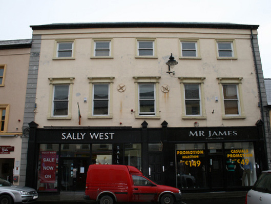 Sally West & Mr James for Menhouse · 217 yd
 Lifeforce Millmill (wind) · 245 yd
 CrossCross, Market cross · 246 yd
 Owen Roe O'Neill graveMemorial · 350 yd
 GrottoWood · 463 yd
 Faugh a Ballagh 1914-1918Monument · 1168 yd
 Bawn in MoynehallBawn · 1.4 mi
 BillisMountain / peak · 1.5 mi
 Drumkeen House WoodlandWood · 1.9 mi
 Bawn in FarnhamBawn · 1.9 mi
 Rambling at Farnham EstateVisitor information · 2.0 mi
 Aghalackan WestMountain / peak · 2.2 mi
Other information
Photo: Credit not shown in the picture search · Rights wording not checked; contact us if this picture should be removed