
What is recorded here
In pasture, located on top of a low, narrow E-W ridge. There are good views over the surrounding landscape of small knolls and low, undulating ridges, broken by limestone outcropping.
Raised circular area or low platform (17m N−S; 16.5m E−W) defined by a slight scarp (H 0.4-0.5m). The enclosure spans almost the full width of the narrow N−S ridge top, and the scarp at N and S is partly enhanced by the natural fall of round. The scarp is barely discernible on the E arc, and the W edge of the enclosure is overlain by later drystone field wall, on a NNW−SSE axis, which is engulfed in brambles and hawthorn. A few stones protrude slightly from the scarp, with one stone rising more prominently from the SW edge of the circuit.
Compiled by: Jane O’Shaughnessy
Date of upload: 5 November 20
A local fairy fort (ringfort/rath); wider significance not recorded.
The monument record does not grant public access. Check the route and ask the landowner before entering private land.
- What survives
- Recorded monument
Places near here
 Drumcondra Castle (in Ruins)Castle, tower house · 383 yd
 Enclosure in RathmoneyEnclosure · 678 yd
 Ritual siteRitual site, holy/saint's stone · 706 yd
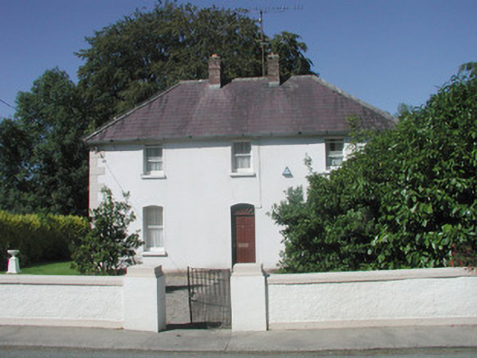 The Presbyterypresbytery/parochial/curate's house · 1346 yd
 Saint Teresa's Catholic Churchchurch/chapel · 1365 yd
 CastleCastle, unclassified · 1682 yd
 Giants GraveArchaeological place · 1.2 mi
 SlishwoodWood · 2.2 mi
 Slishwood Island WestIslet · 2.7 mi
 Bunowen BayBay · 2.8 mi
 Slishwood Island EastIslet · 2.9 mi
 Field MapleField Maple · 3.4 mi
Other information
Photo: Credit not shown in the picture search · Rights wording not checked; contact us if this picture should be removed