What is recorded here
On the top of a high ridge, close to a break of slope on the N side. A slightly raised circular area (c. 26m E-W; c. 27m N-S) enclosed by an earthen bank (Wth 2m; int. H 0.4m; ext. H 1m) with an external fosse. The fosse is evident NE-SE as a shallow flat-bottomed, waterlogged depression (Wth 2.5m) and is recut (Wth 1.7m; D 0.5m) at W to serve as a field drain. The fosse becomes a flat terrace (Wth 2m) of damp ground NNW-NE, its outer edge coinciding with the top of the steep ridge slope. A N-S field drain (Wth 1m; D 0.4m) cuts across the W edge of the rath, more or less on the inner face of the bank. The external face of the bank at S is incorporated into an E-W field boundary. There is a possible entrance (Wth 1.6m) at E with the remains of stone facing. The entrance is partially obstructed on the inner edge by two large stones. There is a hint of a causeway across the fosse. The rath is engulfed in a thicket of hazel, blackthorn and brambles. The interior is level. There is a Man-made underground passage (SL021-031002-) in the NW quadrant.
The above description is derived from the published 'Archaeological Inventory of County Sligo' compiled by Ursula Egan, Elizabeth Byrne, Mary Sleeman with Sheila Ronan and Connie Murphy (Dublin Stationery Office, 2005).
Date of upload: 18 January 2008
The monument record does not grant public access. Check the route and ask the landowner before entering private land.
- What survives
- Recorded monument
Places near here
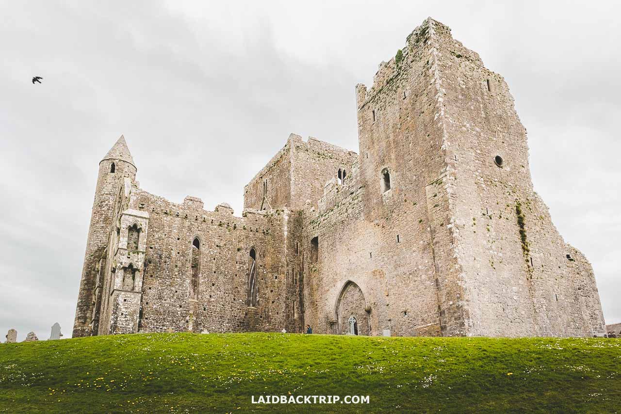 Cashel Bir or BawnboyFairy fort / stone ringfort · 666 yd
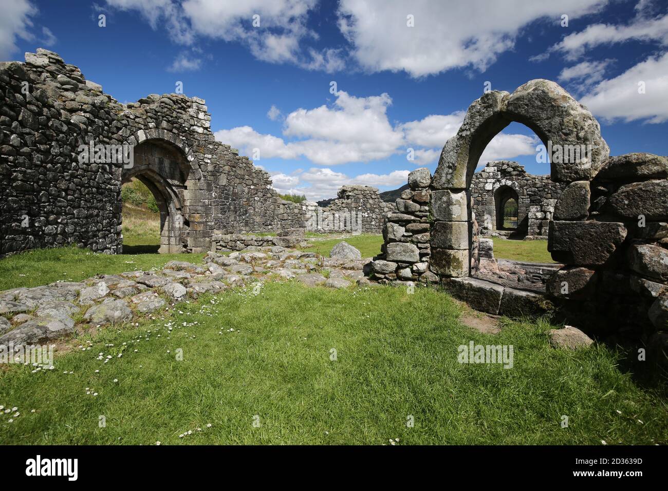 Doon FortCliff-edge fort · 696 yd
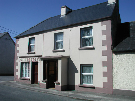 J.F. Trestonhouse · 810 yd
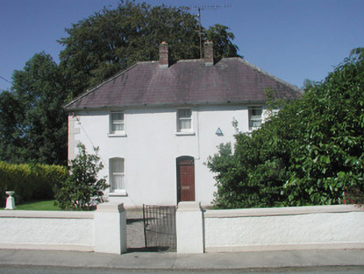 The Presbyterypresbytery/parochial/curate's house · 828 yd
 CastleCastle, unclassified · 1129 yd
 Drumcondra Castle (in Ruins)Castle, tower house · 1.0 mi
 SlishwoodWood · 1.7 mi
 Giants GraveArchaeological place · 2.0 mi
 Slishwood Island WestIslet · 2.4 mi
 Bunowen BayBay · 2.5 mi
 Slishwood Island EastIslet · 2.5 mi
 Aghamore BayBay · 3.6 mi