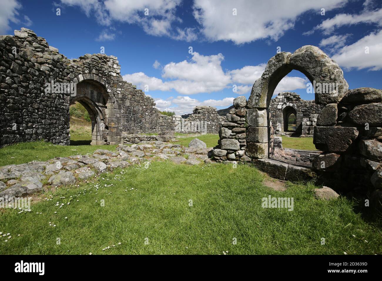
What is recorded here
In hilly terrain overshadowed to N by Killery Mountain, commanding excellent views along a valley to SW. A subrectangular area (35m N-S; 39m E-W), utilising the natural defences of a high steep-sided rocky spur on its S, W and N sides; the gradually sloping E side allows access to the top of the spur. The E side is defined by a scarp (H 1.4m) that drops down to a broad terrace. The remains of a stone wall are evident in parts, most clearly S-SSW as an arc of moss-covered horizontally laid slabs at the cliff-edge, in one instance surviving to two courses. Along the W and NW arcs, single stones which occur at intervals and are set back 0.5-1m from the edge of the spur may also be part of the enclosing wall. The base of the spur E-S is faced with drystone walling of relatively recent date.
The above description is derived from the published 'Archaeological Inventory of County Sligo' compiled by Ursula Egan, Elizabeth Byrne, Mary Sleeman with Sheila Ronan and Connie Murphy (Dublin Stationery Office, 2005).
Date of upload: 18 January 2008
Doon Fort is a subrectangular early-medieval ringfort situated on a rocky spur, likely dating to between the 6th and 10th centuries. Local folklore, though sparse, associates such sites with fairy realms or ancient druidic activity, reflecting their mystical status in Irish tradition.
The monument record does not grant public access. Check the route and ask the landowner before entering private land.
- What survives
- Recorded monument
Places near here
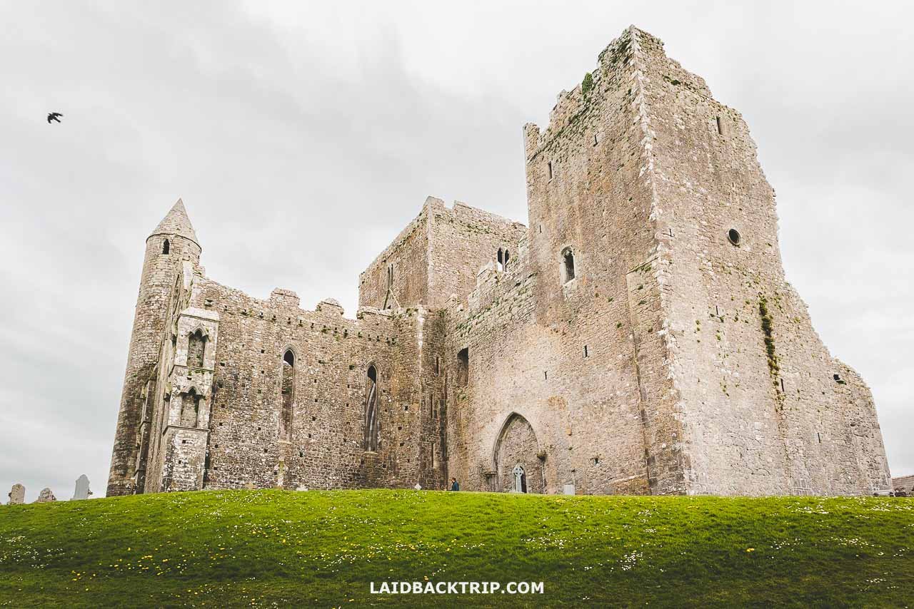 Cashel Bir or BawnboyFairy fort / stone ringfort · 699 yd
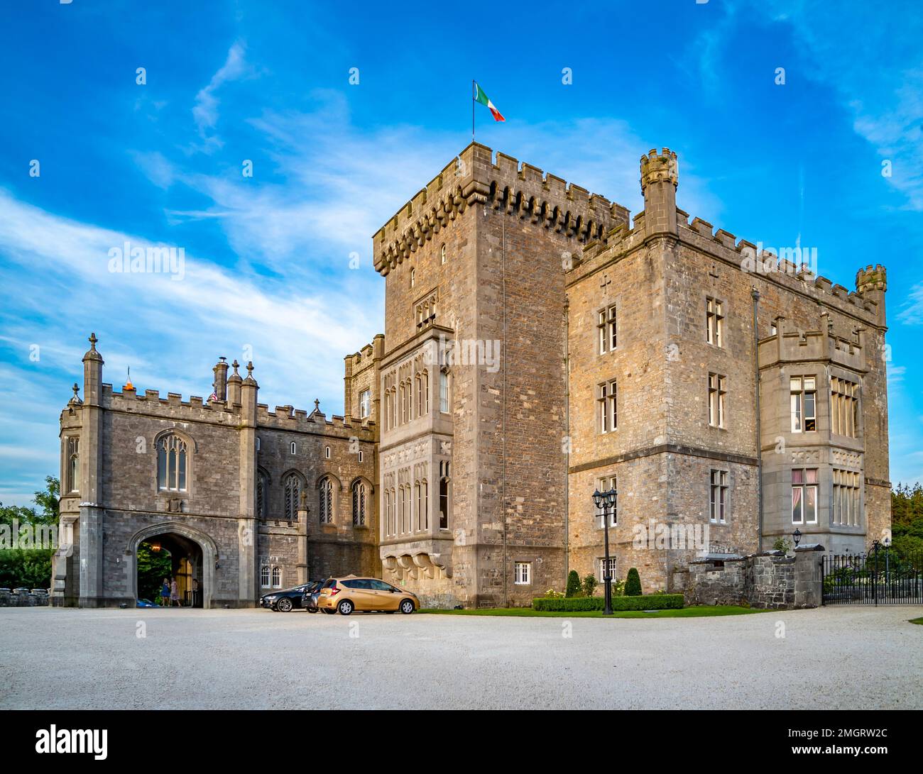 Lissacargy FortFairy fort / stone ringfort · 839 yd
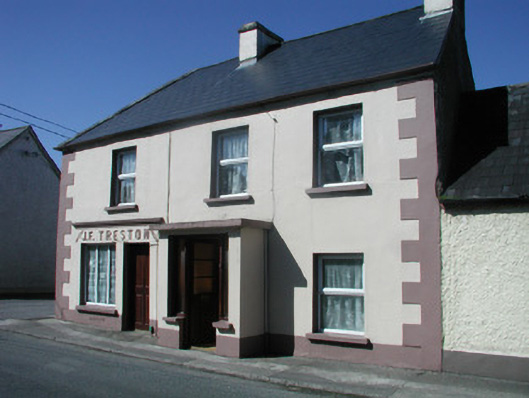 J.F. Trestonhouse · 1406 yd
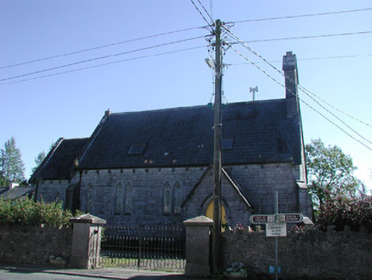 Tiraghrillchurch/chapel · 1434 yd
 CastleCastle, unclassified · 1703 yd
 Drumcondra Castle (in Ruins)Castle, tower house · 1.3 mi
 SlishwoodWood · 1.4 mi
 Slishwood Island WestIslet · 2.1 mi
 Slishwood Island EastIslet · 2.2 mi
 Bunowen BayBay · 2.2 mi
 Giants GraveArchaeological place · 2.3 mi
 Aghamore BayBay · 3.4 mi
Other information
Photo: Credit not shown in the picture search · Rights wording not checked; contact us if this picture should be removed