What is recorded here
In pasture, atop knoll, in view of Donickmore house. Circular area (23m N-S; 22.75m E-W) enclosed by earthen bank (H 0.8m), stone faced externally to N. Interior slopes down to SW. Bank and interior planted with trees. Depicted as tree ring on 1842 OS 6-inch map; indicated as circular enclosure planted with trees on 1903 OS 6-inch map. May be tree ring.
The above description is derived from the published 'Archaeological Inventory of County Cork. Volume 2: East and South Cork' (Dublin: Stationery Office, 1994). In certain instances the entries have been revised and updated in the light of recent research.
Date of upload/revision: 14 January 2009
The monument record does not grant public access. Check the route and ask the landowner before entering private land.
- What survives
- Recorded monument
Places near here
 IndicatedEnclosure · 938 yd
 Clonmult Ambush SiteBattlefield · 1041 yd
 Fulacht fia in GlenaphucaFulacht fia · 1420 yd
 sign postsign post · 1.1 mi
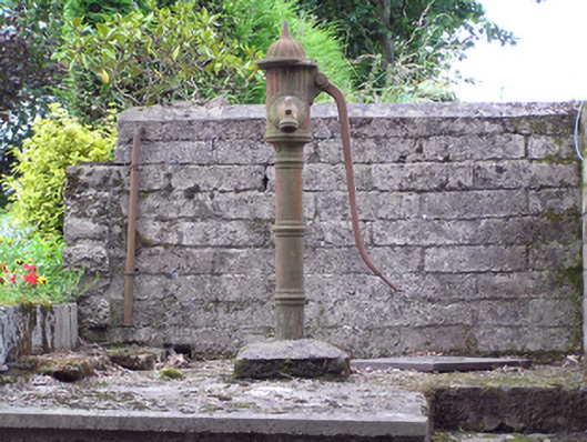 water pumpwater pump · 1.1 mi
 Dungourney Caslte (Site of)Castle, unclassified · 1.6 mi
 Leahy's Open FarmHeritage attraction · 1.9 mi
 Castle (Site of)Castle, unclassified · 2.3 mi
 Salt HillMountain / peak · 3.1 mi
 Graveyard in KillasseraghGraveyard · 4.1 mi
 N25 Picnic SitePicnic place · 4.7 mi
 Pigeon WoodWood · 4.8 mi