What is recorded here
Circular enclosure, diameter c. 40m, set within the western corner of a rectangular earthwork which is possibly a landscape feature associated with the demesne. Visible on lidar imagery (https://dcenr.maps.arcgis.com). Information supplied by Colm Chambers.
From the National Monuments Service (Archaeological Survey of Ireland) record CO017-143
The monument record does not grant public access. Check the route and ask the landowner before entering private land.
- What survives
- Recorded monument
Places near here
 Sweet Chestnut260 yd
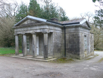 Doneraile CourtGate lodge · 359 yd
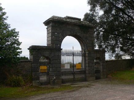 Doneraile CourtGates/railings/walls · 367 ydDoneraile Castle (Site of)Castle, unclassified · 458 yd
 school463 ydFulacht fia in Demesne (fermoy By.)Fulacht fia · 505 yd
 Saint Mary’s Church (Doneraile)Church/chapel · 554 yd
 European Yew747 ydSmith's WellSpring · 1101 ydCaherduggan Castle (Site of)Castle, unclassified · 2.7 mi
 TowerDovecote · 3.9 mi
 Killavullen CavesCave · 5.6 mi
Pictures: Miguel Angel Masegosa Martínez, Wikimedia Commons · CC BY 2.0; National Inventory of Architectural Heritage; Dave Kelly, Geograph · Creative Commons Attribution-ShareAlike 2.0; Sitomon, Wikimedia Commons · CC BY-SA 2.0; David P Howard, Geograph · CC BY-SA 2.0; Fattonyni, Wikimedia Commons · CC BY-SA 3.0
More archaeology and monuments in County Cork · All of County Cork
What do you know about this place?