
What is recorded here
Located in pasture towards the bottom of the S-facing slope of a drumlin and c. 40m from the N shore of Gardice Lough. It is depicted as a small, irregularly shaped enclosure (dims c. 15m x c. 10m) and described in gothic lettering as a 'fort' on the 1835 edition of the OS 6-inch map. It was described in 1943 as a small enclosure (diam. c. 12m E-W; c. 12m N-S) defined by an earthen bank (Wth c. 1.5m; H 0.2-0.5m) (OSFM). It is no longer visible at ground level.
The above description is derived from 'The Archaeological Inventory of County Leitrim' compiled by Michael J. Moore (Dublin: Stationery Office, 2003). In certain instances the entries have been revised and updated in the light of recent research.
Date of upload: 23 September 2008
The monument record does not grant public access. Check the route and ask the landowner before entering private land.
- What survives
- Recorded monument
Places near here
 Cross in CullyCross · 572 yd
 Drumreilly Churchchurch/chapel · 584 yd
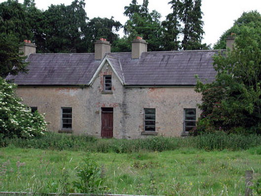 Drumreilly Cottagefarm house · 720 yd
 Bawn in Cherry IslandBawn · 1154 yd
 Cherry IslandIslet · 1232 yd
 Enclosure in Garadice (carrigallen By.)Enclosure · 1275 yd
 Black PoplarBlack Poplar · 1661 yd
 BatteryBawn · 1675 yd
 Crane IslandIslet · 1704 yd
 Swan Island pet farmHeritage attraction · 1.2 mi
 DerrynigginMountain / peak · 1.8 mi
 Cornagunleog ForestForest · 2.2 mi
Other information
Photo: Credit not shown in the picture search · Rights wording not checked; contact us if this picture should be removed