DDiscover AloneMapAbout

Church in Cully

Church

What is recorded here

Located on a slight E-W rise towards the bottom of an E-facing slope on the W shore of a bottle-shaped bay (dims c. 900m N-S; c. 200m E-W at S to c. 450m E-W at N) on the N side of Gardice Lough. The site of the medieval parish church of Drumreilly or Drumybeallaich – ridge of the eastern road - is within a…

Read the whole record
Located on a slight E-W rise towards the bottom of an E-facing slope on the W shore of a bottle-shaped bay (dims c. 900m N-S; c. 200m E-W at S to c. 450m E-W at N) on the N side of Gardice Lough. The site of the medieval parish church of Drumreilly or Drumybeallaich – ridge of the eastern road - is within a subrectangular graveyard (dims c. 65m E-W; c. 40m N-S) defined by masonry walls. There are documentary references from the early 15th century (Seymour 1935; Earley and Boyle 1999) when the rectory of Cinel Luachain, which may have been formed from the ancient tuath of the Masraige in Magh Sleacht and which consisted of the parishes of Oughteragh (LE025-008001-) and Drumreilly, was disputed between Gelasious (Giolla Íosa) O’Mulmochery and Luke O’Rodaghan in 1410. The former may have been from a family of hereditary erenachs of a forgotten monastery of Drumreilly, while the latter was a member of the erenach family of the ancient monastery of Fenagh (LE025-096001-). The dispute continued throughout the century amongst their families. The most likely origin of the Ó Maolmochéirghe family is from the Cairpre Mór of north Leitrim in the ninth century (MacCotter 2019, 73), and the large estate attached to Drumreilly church, amounting to twelve townlands, can be distinguished as Church or cross land on the Down Survey (1656-8) parish map (ibid. 75). The present Church of Ireland church of Drumreilly was built in 1737 by William Gore (Lewis 1837, vol. 1, 520) and may incorporate some medieval fabric. Two corbels with carved heads in the W gable could be in their original position and there is a base-batter in the E wall. The carved head of a bishop and a grotesque mouth-pulling carved head are built into the outer face of the E gable. The base of a finial cross, and a window mullion with part of the head of a two-light ogee-headed window of fifteenth century date area kept in the present church. There is a tapering graveslab (Wth 0.47m at W to 0.53m at E; L 1.63m plus) with a legend carved in false relief in the graveyard, N of the E end of the church. The legend is in English and carved in roman capitals, but it is illegible. However, it could be seventeenth century in date. Date of revised upload: 6 July 2017

From the National Monuments Service (Archaeological Survey of Ireland) record LE025-058001

The monument record does not grant public access. Check the route and ask the landowner before entering private land.

What do you know about this place?Tap to add a comment or ask a question

What you write will be public.

Places near here

Photo credits
  • Oliver Dixon, Wikimedia Commons · CC BY-SA 2.0
  • National Inventory of Architectural Heritage
  • Kenraiz, Wikimedia Commons · CC BY-SA 3.0
  • Kenneth Allen, Wikimedia Commons · Creative Commons Attribution-ShareAlike 2.0
  • Oliver Dixon, Geograph · Creative Commons Attribution-ShareAlike 2.0
Drumreilly ChurchChurch/chapel · 1 yd

Explorer Tom Drumreilly Church overlooks Garadice Lough, which means it’s got the best seat in the house for watching the water…
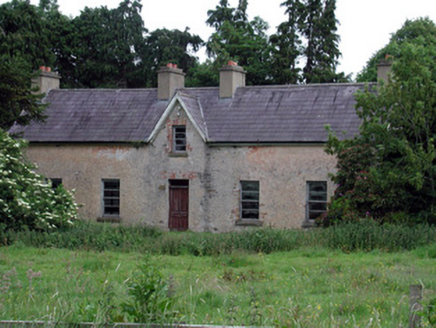
Drumreilly CottageFarm house · 515 yd

Explorer Tom Drumreilly Cottage in Drumreilly has a bird on the roof that refuses to leave, no matter what. The lime-based render is…
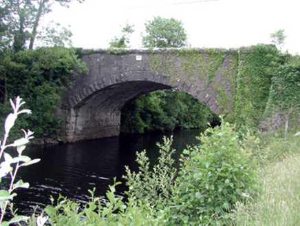
Ballinacur BridgeBridge · 888 yd

Explorer Tom Ballinacur Bridge in Kilnacreevy straddles a man-made waterway between two lakes, which sounds like a puzzle designed…
Black Poplar1083 yd

Explorer Tom Black Poplar was designed by a mother-in-law who wanted something tall but structurally insecure. It stands in Leitrim…
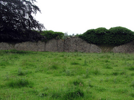
WoodfordWalled garden · 1230 yd

Explorer Tom Woodford tried to buy a walled garden but ended up with a very confused cow instead of a deed. Now it stands there as…

Castle in BallymagauranCastle, tower house · 1.2 mi

Explorer Tom Castle in Ballymagauran writes on its dating profile: 'Two stories tall, good bones, need a roof'. It's got a splayed…

Killyran BridgeBridge · 1.4 mi

Explorer Tom Killyran Bridge was built for a narrow-gauge railway that went out of fashion faster than my last haircut. It’s got…
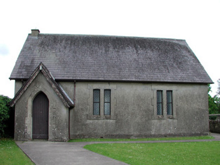
Newtown Gore Methodist ChurchChurch/chapel · 1.6 mi

Explorer Tom Newtown Gore Methodist Church would tell a job interviewer that it’s reliable, punctual, and never takes a sick day.…
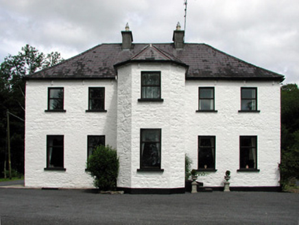
Corduff HouseHouse · 1.6 mi

Explorer Tom Corduff House overlooks the lough like it’s judging your life choices from up high. A hero nobody remembers saved it…
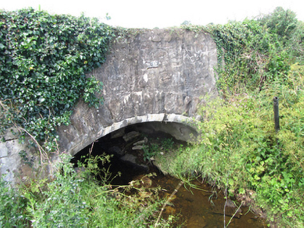
County BridgeBridge · 1.7 mi

Explorer Tom County Bridge in Cornagunleog is an eighteenth-century storyteller that only reveals its secrets after three pints of…
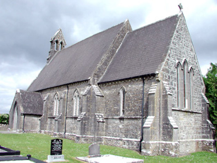
Saint Patrick's Church (Carrigallen)Church/chapel · 1.7 mi

Explorer Tom Saint Patrick's Church (Carrigallen) would be the person at a wedding who knows everyone’s secrets and has a stone face…

Graveyard in ArdunsaghanGraveyard · 2.5 mi

Explorer Tom Graveyard in Ardunsaghan means 'High Place of the Ghosts' or something equally terrifying, I think. The church is just…

More historic places in County Leitrim · All of County Leitrim

Add to this placeAdd a picture Add a detailed tip Add a story

Explore the map1,095,414 places to discover

Next place · or swipeDrumreilly Church