
What is recorded here
Situated on a S-facing slope down to the N bank of a small SW-NE stream and on the W side of a minor N-S road. The Roman Catholic church (LE025-104001-) that was derelict by 1838 (Gallogly 1993-4, 432) and is now reduced to a fragment of one wall is within a rectangular walled graveyard (dims 36mN-S; 26m E-W) with an entrance gate between large masonry piers at N. The few headstones date from c. 1900 to c. 1987.
From the National Monuments Service (Archaeological Survey of Ireland) record LE025-104002
The monument record does not grant public access. Check the route and ask the landowner before entering private land.
- What survives
- Recorded monument
Places near here
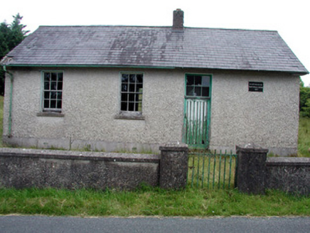 Gortachoosh National SchoolSchool · 1710 ydSwan Island pet farmHeritage attraction · 1.1 mi
 Saint Columba's Church (Drumreilly)Church/chapel · 1.3 miEnclosure in CarrickmakeeganEnclosure · 1.5 miCrane IslandIslet · 1.9 miBatteryBawn · 1.9 miCherry IslandIslet · 2.0 mi
 Black Poplar2.9 mi
 IndicatedCastle, tower house · 3.5 mi
 Pedunculate Oak4.3 mi
 Graveyard4.3 mi
 Killycluggin StoneVisitor information · 5.9 mi
Pictures: National Inventory of Architectural Heritage; Kenraiz, Wikimedia Commons · CC BY-SA 3.0; Kenneth Allen, Wikimedia Commons · Creative Commons Attribution-ShareAlike 2.0; Algirdas at Lithuanian Wikipedia, Wikimedia Commons · Public domain; Fifiheavey, Wikimedia Commons · CC BY-SA 4.0; Kenneth Allen, Geograph · CC BY-SA 2.0
More archaeology and monuments in County Leitrim · All of County Leitrim
What do you know about this place?