What is recorded here
Situated in mixed woodland on the subrectangular and overgrown Crane Island (dims c. 125m N-S; c. 70m E-W), which is at the E edge of a bay (max. dims c. 500m E-W; c. 400m N-S) at the SE angle of Garadice Lough. Traditionally the island is associated with the United Irishman rebel Myles 'The Slasher' O'Reilly of uncertain authenticity (Blaney 1944, file no. 135), but this is probably the result of confusion with Colonel Myles O’Reilly, or Maol Mórdha Mac Edmond O’Reilly, who was the sheriff of Co. Cavan at the outbreak of the 1641 rebellion, and one of its instigators. Myles was a second cousin of Philip Mc Hugh O’Reilly, who became the commander of the Ulster rebel army towards the end of the struggle against Cromwellian forces. After the Ulster rebels were defeated at Scarriffhollis, Co. Donegal in June 1650, the rebels were confined increasingly to the fastnesses of Fermanagh, Cavan and Leitrim, and it is thought that Myles undertook the fortification of a number of islands, one of which was Crane Island at Lough Gardice (O’Reilly 1924). His fortifications at Crane Island were never tested as Myles surrendered with the rest of the rebel army at Clogh Oughtar in April 1653 (Manning 2013, 31), after which he went to the Continent where he died in 1670. This is an overgrown scrub-covered rectangular area (dims 41m NW-SE; 23m NE-SW) defined by a collapsed and grass-covered mortared wall (Wth 0.8-1m; H 0.5m) with the remains of a circular tower (int. diam. 3.7m; H 1.3m), which has a doorway (Wth 0.9m) with an outer rebate and two surviving gun-loops, situated at the N angle. Some of the dressed stone from one of the loops was stolen in 2013 and has not yet been recovered. A third gun-loop is in the wall of the bawn nearby. A cairn (diam. 5m; H 1m) at the S angle may be the remains of another tower. Moore (Dublin: Stationery Office, 2003).
Situated in mixed woodland on the subrectangular and overgrown Crane Island (dims c. 125m N-S; c. 70m E-W), which is at the E edge of a bay (max. dims c. 500m E-W; c. 400m N-S) at the SE angle of Garadice Lough. Traditionally the island is associated with the United Irishman rebel Myles 'The Slasher' O'Reilly of uncertain authenticity (Blaney 1944, file no. 135), but this is probably the result of confusion with…
From the National Monuments Service (Archaeological Survey of Ireland) record LE026-006
The monument record does not grant public access. Check the route and ask the landowner before entering private land.
- What survives
- Recorded monument
Places near here
Crane IslandIslet · 29 ydCherry IslandIslet · 455 ydBawn in Cherry IslandBawn · 530 ydFairy fort / earthen ringfort in MullyasterFairy fort / earthen ringfort · 1154 yd Ballinacur BridgeBridge · 1377 ydNewtown Gore Methodist ChurchChurch/chapel · 1549 ydBlack Poplar1.1 miIndicatedCastle, tower house · 1.7 miIndicatedGraveyard · 1.9 miCommon Lime3.5 miKillycluggin StoneVisitor information · 4.1 miEvlagh MoreMountain / peak · 4.3 mi
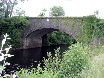 Ballinacur BridgeBridge · 1377 yd
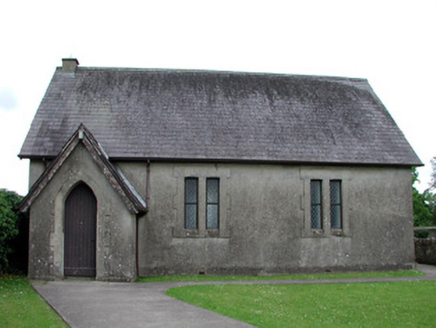 Newtown Gore Methodist ChurchChurch/chapel · 1549 yd
 Black Poplar1.1 mi
 IndicatedCastle, tower house · 1.7 mi
 IndicatedGraveyard · 1.9 mi
 Common Lime3.5 mi
 Killycluggin StoneVisitor information · 4.1 mi
 Evlagh MoreMountain / peak · 4.3 mi
Pictures: National Inventory of Architectural Heritage; Kenraiz, Wikimedia Commons · CC BY-SA 3.0; Kenneth Allen, Wikimedia Commons · Creative Commons Attribution-ShareAlike 2.0; Oliver Dixon, Geograph · Creative Commons Attribution-ShareAlike 2.0; Alvesgaspar, Wikimedia Commons · CC BY-SA 3.0; Kenneth Allen, Geograph · CC BY-SA 2.0
More castles and forts in County Leitrim · All of County Leitrim
What do you know about this place?