
What is recorded here
Remains of rectangular building (int. dims. 9.5m E-W; 5.9m N-S) of rough, uncoursed limestone masonry. Plain splayed window in W end of S wall. Fireplace and chimney in E end of S wall. The structure was apparently two stories in height. Lying on the ground is half of the doorway arch. Dressed stone indicates a late 16th or early 17th-century date. Remains of a largely destroyed stone head at NW angle. Davies (1947a, 94-5) recorded that this 'although barbarously mutilated in recent years, looks from the grooves under the chin to have been a grotesque of a type not likely to have been made after 1600'. (Wilsdon 2010, 184-6)
The above description is derived from the published 'Archaeological Inventory of County Cavan' (Dublin: Stationery Office, 1995).
Remains of rectangular building (int. dims. 9.5m E-W; 5.9m N-S) of rough, uncoursed limestone masonry. Plain splayed window in W end of S wall. Fireplace and chimney in E end of S wall. The structure was apparently two stories in height. Lying on the ground is half of the doorway arch. Dressed stone indicates a late 16th or early 17th-century date. Remains of a largely destroyed stone head at NW angle. Davies…
From the National Monuments Service (Archaeological Survey of Ireland) record CV013-002001
The monument record does not grant public access. Check the route and ask the landowner before entering private land.
- What survives
- Recorded monument
Places near here
 Black Poplar1090 ydCastleCastle, ringwork · 1141 yd
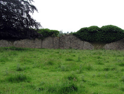 WoodfordWalled garden · 1335 ydGiants GraveArchaeological place · 1574 yd
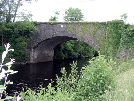 Ballinacur BridgeBridge · 1702 ydDerrynigginMountain / peak · 1.1 miBawn in Cherry IslandBawn · 1.6 mi
 Common Lime1.8 mi
 Killycluggin StoneVisitor information · 2.4 mi
 IndicatedGraveyard · 3.5 mi
 Evlagh MoreMountain / peak · 3.8 mi
.jpg/250px-Doon_(0).jpg "Photo: Wanfried-Dublin, Wikimedia Commons · CC0") Court tomb in Doon (ballyconnell Ed)Court tomb · 5.4 mi
Court tomb in Doon (ballyconnell Ed)Court tomb · 5.4 miPictures: Kenraiz, Wikimedia Commons · CC BY-SA 3.0; National Inventory of Architectural Heritage; Alvesgaspar, Wikimedia Commons · CC BY-SA 3.0; Kenneth Allen, Geograph · CC BY-SA 2.0; Oliver Dixon, Geograph · Creative Commons Attribution-ShareAlike 2.0; Wanfried-Dublin, Wikimedia Commons · CC0
More castles and forts in County Cavan · All of County Cavan
What do you know about this place?