What is recorded here
This enclosure is situated in mixed woodland in a low-lying position on the S bank of a WNW-ESE section of the Ballinamore and Ballyconnell canal, which cuts off a loop of the Woodford River to the N and which truncates this monument on the N side. The river and the canal connect Ballymagauran Lough to the E with Gardice Lough to the W. This is identified as Tuam Seanchaidh or Tomonaghan, an early centre of the O'Rourke's in south Leitrim which may have continued in use up to the 15th century (Dalton 1921-4, 26, 31-3). In 1386 Aine, the wife of Tiernan O’Rourke, Lord of Breifne, died at Tuaim Seanchaidh (AFM). As a medieval centre of the O’Rourkes’ and for morphological reasons the earthwork can be considered as a possible ringwork castle. However, a stone castle (LE026-001002-) may have been built c. 100m to the SE, at a location later occupied by a house (M’Parlan 1802, 93). This is a grass-covered D-shaped area (int. dims 36m WNW-ESE; 25m NNE-SSW) defined by an earthen bank (Wth of base 6.m; int. H 0.6-1m; ext. H 0.8-1m) with trees that is separated by a berm (Wth 0.5-1m) from an outer rock-cut fosse (Wth 7m; int. D 1.3-2m; ext. D 0.5-1.6m) E-S-WSW, and by the canal elsewhere. There is an entrance (Wth 4.8m) and causeway (Wth 7m) at SW, but the bank and fosse do not continue W of this feature. Before the canal truncated it, the enclosure would include all the loop created by the river (dim. c. 120m N-S). Moore (Dublin: Stationery Office, 2003).
This enclosure is situated in mixed woodland in a low-lying position on the S bank of a WNW-ESE section of the Ballinamore and Ballyconnell canal, which cuts off a loop of the Woodford River to the N and which truncates this monument on the N side. The river and the canal connect Ballymagauran Lough to the E with Gardice Lough to the W. This is identified as Tuam Seanchaidh or Tomonaghan, an early centre of the…
From the National Monuments Service (Archaeological Survey of Ireland) record LE026-001001
The monument record does not grant public access. Check the route and ask the landowner before entering private land.
- What survives
- Recorded monument
Places near here
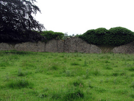 WoodfordWalled garden · 227 yd
 Black Poplar230 yd
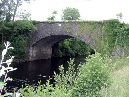 Ballinacur BridgeBridge · 571 yd
 IndicatedCastle, tower house · 1141 ydDerrynigginMountain / peak · 1522 ydBawn in Cherry IslandBawn · 1626 ydCherry IslandIslet · 1637 yd
 Common Lime2.4 mi
 IndicatedGraveyard · 2.9 mi
 Killycluggin StoneVisitor information · 3.0 mi
 Evlagh MoreMountain / peak · 3.9 mi
.jpg/250px-Doon_(0).jpg "Photo: Wanfried-Dublin, Wikimedia Commons · CC0") Court tomb in Doon (ballyconnell Ed)Court tomb · 6.0 mi
Court tomb in Doon (ballyconnell Ed)Court tomb · 6.0 miPictures: National Inventory of Architectural Heritage; Kenraiz, Wikimedia Commons · CC BY-SA 3.0; Kenneth Allen, Wikimedia Commons · Creative Commons Attribution-ShareAlike 2.0; Alvesgaspar, Wikimedia Commons · CC BY-SA 3.0; Oliver Dixon, Geograph · Creative Commons Attribution-ShareAlike 2.0; Kenneth Allen, Geograph · CC BY-SA 2.0; Wanfried-Dublin, Wikimedia Commons · CC0
More castles and forts in County Leitrim · All of County Leitrim
What do you know about this place?