
What is recorded here
On low-lying marshy pasture, with active quarrying operation adjacent to SE. Aerial photograph (GSI R 545 & 546) shows cropmark of levelled circular enclosure. No trace of monument evident when inspected.
Compiled by: Denis Power
Date of upload: 26 August 2011
The monument record does not grant public access. Check the route and ask the landowner before entering private land.
- What survives
- Recorded monument
Places near here
 Burial GroundGraveyard · 698 yd
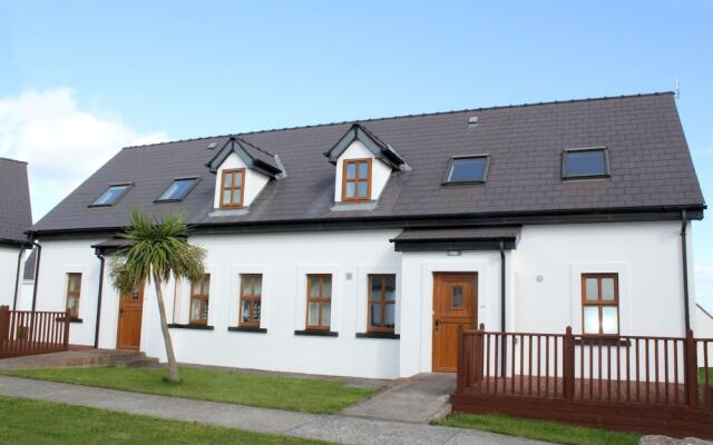 Enclosure in KilmoreEnclosure · 1056 yd
 Granagh Housefarm house · 1461 yd
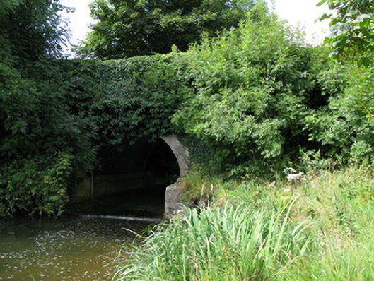 bridgebridge · 1718 yd
 Bruree Castle Lower (in ruins)Castle, Anglo-Norman masonry castle · 3.1 mi
 KnockfeerinaMountain / peak · 3.4 mi
 Athlacca Ho. (in ruins)Castle, unclassified · 3.4 mi
 Saint Derivla's WellSpring · 3.8 mi
 Famine stoneMemorial · 4.0 mi
 Our Lady's WellSpring · 4.2 mi
 European ashEuropean ash · 4.4 mi
 Dysert AenghusaHeritage attraction · 4.8 mi
Other information
Photo: Credit not shown in the picture search · Rights wording not checked; contact us if this picture should be removed