
What is recorded here
Circular enclosure identified as a crop mark on Bing (viewed 03/01/2015). The enclosure (c.30m diam.) appears to predate a field boundary that formed the western limit of Kit’s Green and the townland boundary between Common and Corrstown. The field boundary has since been removed. It is possible that this site is the ‘supposed site of old Fort or Burying Ground’ marked on the 1st edition OS map.
Compiled by: Christine Baker
Date of upload: 27 March 2015
The monument record does not grant public access. Check the route and ask the landowner before entering private land.
- What survives
- Recorded monument
Places near here
 Kits GreenFairy fort / ringfort · 192 yd
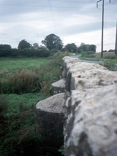 Chapelmidway Bridgebridge · 424 yd
 Church (in ruins)Church · 592 yd
 Enclosure in Newpark (castleknock By.)Enclosure · 663 yd
 Freedagh MoatCastle, motte · 1405 yd
 CastleCastle, unclassified · 1.4 mi
 Graveyard in KillosseryGraveyard · 2.6 mi
 St Cronans WellSpring · 2.9 mi
 The JackoWood · 3.0 mi
 Kim Archibold MemorialMemorial · 3.0 mi
 The MoundViewpoint · 3.3 mi
 BallymunVisitor information · 4.0 mi
Other information
Photo: Credit not shown in the picture search · Rights wording not checked; contact us if this picture should be removed