
What is recorded here
In pasture, located on a hill, just below the crest of the hill on its S side. Immediately to N, E and S of the enclosure, the slopes of the hill fall steeply into damp-based valleys; the level top of the ridge extends to W. Not indicated on any edition of the OS 6-inch mapping. The outline of a possible enclosure is…
Read the whole record
From the National Monuments Service (Archaeological Survey of Ireland) record SL021-219
Places near here
Photo credits
- National Inventory of Architectural Heritage
- Maker not stated on source page, www.flickr.com
- Richard Webb, Geograph · Creative Commons Attribution-ShareAlike 2.0
- St John's GAA Club Sligo; individual photographer not stated, stjohnsgaaclub.blogspot.com
- Mike Searle, Wikimedia Commons · CC BY-SA 2.0
- Maker not stated on source page, br.pinterest.com
- Maker not stated on source page, uk.pinterest.com
- Mike Searle, Geograph · CC BY-SA 2.0
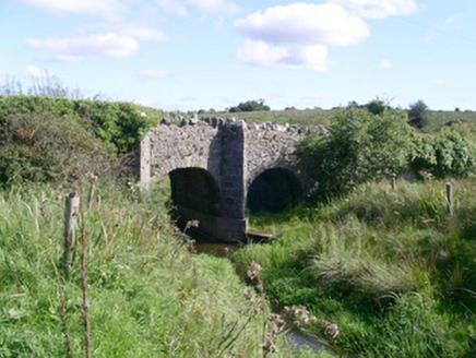 bridge1317 yd
Explorer Tom Bridge in Barroe would tell you in a job interview that it has strong references and good stone work. It’s simple but…
 Fairy fort / earthen ringfort in RathmoneyFairy fort / earthen ringfort · 1326 yd
Explorer Tom The wind keeps picking on this Rathmoney fort because it thinks it’s a hat. It’s perched on a ridge looking smugly down…
 Saint Teresa's Catholic ChurchChurch/chapel · 1390 yd
Explorer Tom Saint Teresa’s Catholic Church was once briefly ruled by a goat that wandered in during a service and ate the communion…
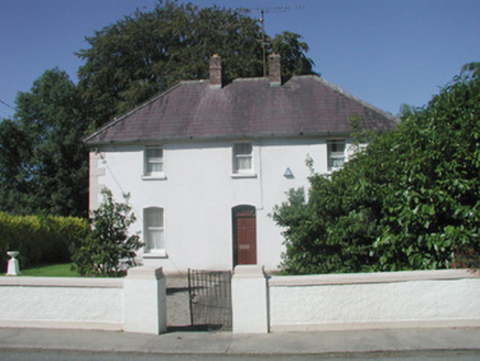 The PresbyteryPresbytery/parochial/curate's house · 1444 yd
Explorer Tom The Presbytery in Tiratick is home to a parochial house that has retained its original fabric while two families feud…
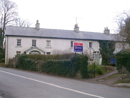 Kingsfort HouseHouse · 1445 yd
Explorer Tom Kingsfort House is obsessed with being more important than the castle down the road, despite being twice as long and…
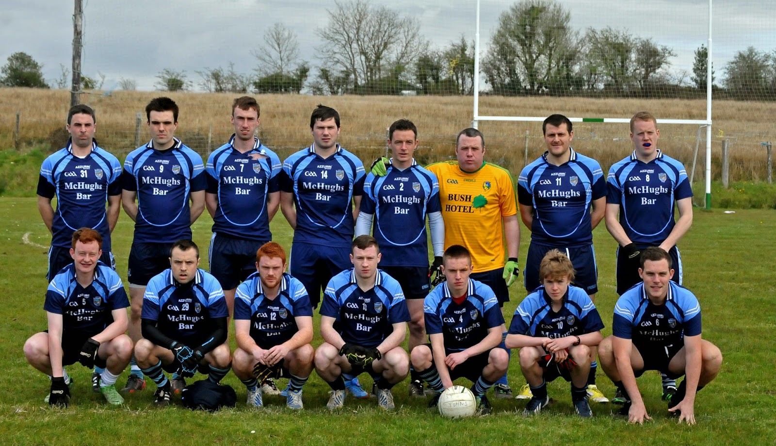 Ballintogher, St. Michael's GAAGAA ground · 1453 yd
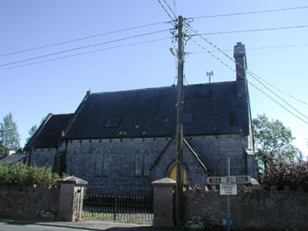 TiraghrillChurch/chapel · 1535 yd
Explorer Tom Tiraghrill church in Kingsfort would tell its younger self to stop worrying about whether it’s a proper church and…
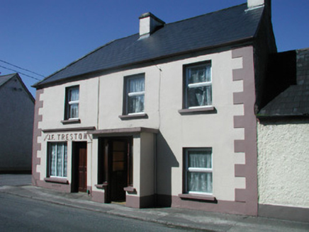 J.f. TrestonHouse · 1557 yd
Explorer Tom J.F. Treston in Tiratick claims Queen Victoria visited one Tuesday and hid behind the shopfront because she was late…
 Drumcondra Castle (in Ruins)Castle, tower house · 1.1 mi
Explorer Tom Drumcondra Castle is currently being courted by a cow who thinks it’s a luxury loft. The tower is barely standing, so…
 Drumcondra CastleRuins · 1.1 mi
Explorer Tom Drumcondra Castle is haunted by the ghost of a fiddler who played there all night until his fingers bled, allegedly.…
 Fairy fort / stone ringfort in Carricknagat (tirerrill By.)Fairy fort / stone ringfort · 1.1 mi
Explorer Tom Fairy fort / stone ringfort in Carricknagat is covered in overgrowth and looks like someone dumped a garden shed on top…
 Castle NeymoeCountry house · 1.1 mi
Explorer Tom Castle Neymoe is a romantic ruin in Ballysumaghan, casting an impressive presence with its Gothic style and central…
More archaeology and monuments in County Sligo · All of County Sligo

What do you know about this place?Tap to add a comment or ask a question