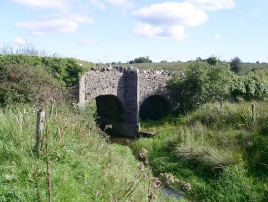
What is recorded here
Double-span rubble stone road-over-river bridge, erected c. 1850. Rubble limestone walling, roughly squared-and-coursed masonry to full-height triangular cut waters set on projecting insitu concrete bases, round-headed arches with rubble-stone voussoirs, rubble coping to parapet consists of vertical alternate high and low stones. Narrow grass verges to sides of bitmac carriageway. Sited running north-south over river, grass banks to river.
This simple road bridge just outside Ballintogher is of considerable significance in both architectural and technical contexts as a reminder of the development of Ireland's road transport network during the nineteenth century. It adds to an attractive setting with its understated use of local stone.
This does not grant access. Most recorded buildings are privately owned; view them only from public ground unless the owner allows entry.
Places near here
 Bryan Mulveys fortFairy fort / earthen ringfort · 582 yd
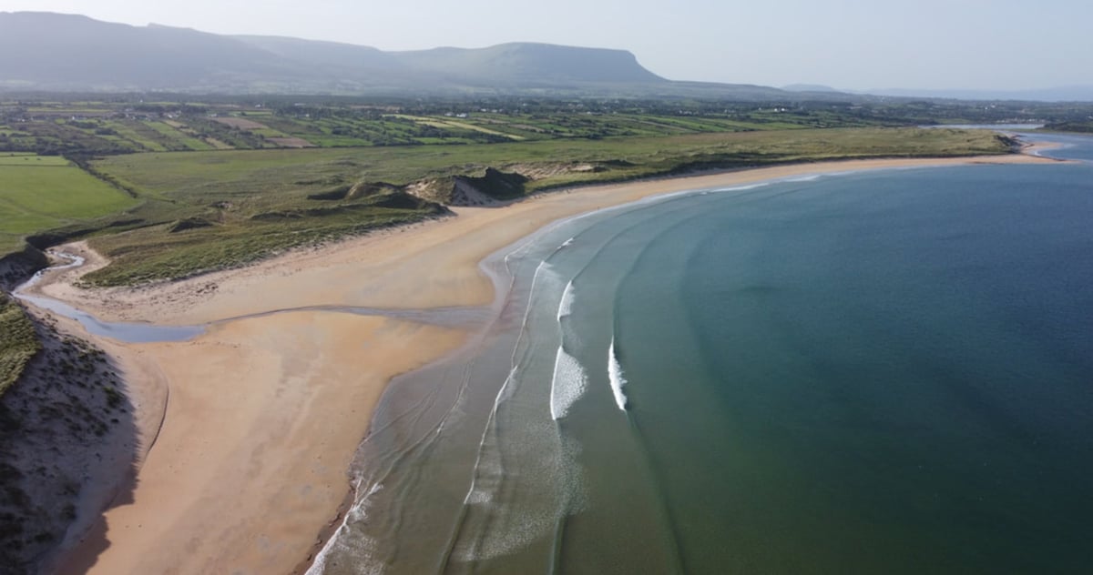 Gilmartins FortFairy fort / earthen ringfort · 713 yd
 CastleCastle, unclassified · 1186 yd
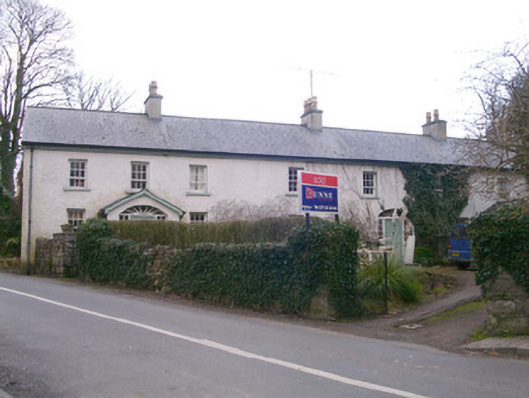 Kingsfort Househouse · 1464 yd
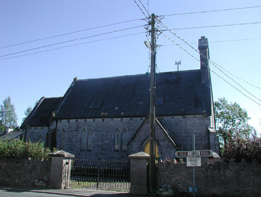 Tiraghrillchurch/chapel · 1477 yd
 Drumcondra Castle (in Ruins)Castle, tower house · 1.7 mi
 Giants GraveArchaeological place · 2.5 mi
 SlishwoodWood · 3.0 mi
 Cullentra ForestForest · 3.7 mi
 Slishwood Island WestIslet · 3.7 mi
 Trawane BayBay · 3.8 mi
 Slishwood Island EastIslet · 3.8 mi
Other information
Photo: National Inventory of Architectural Heritage · Website use allowed for educational or private purposes with source credit