What is recorded here
Marked on 1841 edition of the OS 6-inch map; a subcircular enclosure (max. diam. c. 20m NE-SW). No visible surface remains. David Sweetman, Olive Alcock and Bernie Moran.
From the National Monuments Service (Archaeological Survey of Ireland) record LA003-001
The monument record does not grant public access. Check the route and ask the landowner before entering private land.
- What survives
- Recorded monument
Places near here
Enclosure in DerrygunniganEnclosure · 1.5 miCastle Brack (in ruins)Castle, tower house · 2.2 mi outbuilding2.7 mihandball alley2.7 miMick the MillerMemorial · 2.7 miRed HillMountain / peak · 3.0 miSt. Bridgets WellHoly well · 3.0 miCastleCastle, unclassified · 3.1 miScrub HillMountain / peak · 3.3 miBurnett's WoodForest · 3.3 miDerryad WoodForest · 3.7 miFather BurbageMemorial · 6.2 mi
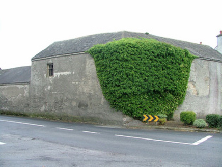 outbuilding2.7 mi
 handball alley2.7 mi
 Mick the MillerMemorial · 2.7 miRed HillMountain / peak · 3.0 mi
 St. Bridgets WellHoly well · 3.0 miCastleCastle, unclassified · 3.1 miScrub HillMountain / peak · 3.3 miBurnett's WoodForest · 3.3 miDerryad WoodForest · 3.7 mi
 Father BurbageMemorial · 6.2 mi
Pictures: National Inventory of Architectural Heritage; kevin higgins, Geograph · CC BY-SA 2.0; kevin higgins, Wikimedia Commons · CC BY-SA 2.0; A.-K. D., Wikimedia Commons · CC BY-SA 4.0; Trenchspike, Wikimedia Commons · CC BY-SA 4.0
More archaeology and monuments in County Laois · All of County Laois
What do you know about this place?