
What is recorded here
From the National Monuments Service (Archaeological Survey of Ireland) record LA003-016004
The monument record does not grant public access. Check the route and ask the landowner before entering private land.
- What survives
- Recorded monument
Places near here
 Saint Brigid's WellHoly well · 30 yd
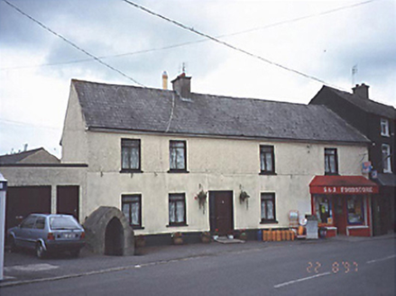 Historic buildingOfficially recorded historic building · 39 ydChurch (in Ruins), GraveyardChurch · 4.4 mi
 BaunreaghcongMountain / peak · 5.7 mi
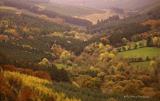 Slieve Bloom MountainsMountain range · 7.0 mi
 Sitka Spruce8.0 mi
 Ritual siteRitual site, holy tree/bush · 8.6 mi
 Sycamore8.6 mi
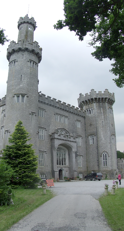 Charleville CastleCastle · 10.0 mi
 Grand Canal WayWalking route · 10 mi
 Graveyard11 mi
 Ballycowan CastleCastle · 12 mi
Pictures: A.-K. D., Wikimedia Commons · CC BY-SA 4.0; National Inventory of Architectural Heritage; kevin higgins, Wikimedia Commons · CC BY-SA 2.0; Mooro1, Wikimedia Commons · CC BY-SA 4.0; Wsiegmund, Wikimedia Commons · CC BY 2.5; Andreas F. Borchert, Wikimedia Commons · CC BY-SA 4.0; Christian Pirkl, Wikimedia Commons · CC BY-SA 3.0 at; User:Jgillett, Wikimedia Commons · Public domain; JP, Geograph · CC BY-SA 2.0; Kieran Campbell, Geograph · Creative Commons Attribution-ShareAlike 2.0; Kieran Campbell, Wikimedia Commons · CC BY-SA 2.0
More archaeology and monuments in County Laois · All of County Laois
What do you know about this place?