
What is recorded here
Located on high ground with good extensive views in all directions with a natural well known as St. Brigids well to the S. Rectangular church (OF016-021----) situated in N side of irregular shaped graveyard (approx. int. dims. 35m N-S; 43m E-W) defined by a 19th century stone wall. Stone fragments of a possible tracery window which belonged to the central window on the S wall can be seen lying on top of a nearby table-top tomb. Evidence of a possible doorway on the W end of the S wall. The enclosing graveyard contains many headstones of 18th/19th-century date. Possible late medieval graveslab (OF016-021002-) broken in two pieces inside church. The decoration consists of a long thin latin cross carved in relief with a border surrounding the slab which is slightly tapered. No inscription visible.
Compiled by: Caimin O'Brien.
Date of upload: 23 May 2011
The monument record does not grant public access. Check the route and ask the landowner before entering private land.
- What survives
- Recorded monument
Places near here
 Enclosure in Kilbride (ballycowan By.)Enclosure · 478 yd
 BarrowBarrow, ditch barrow · 722 yd
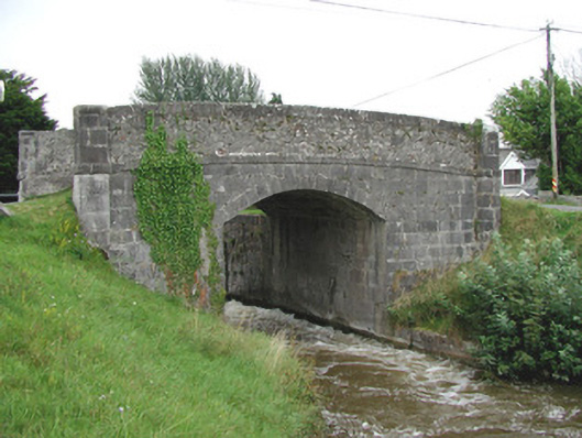 Ballycowan Bridgebridge · 738 yd
 Ballycowan CastleCastle · 1050 yd
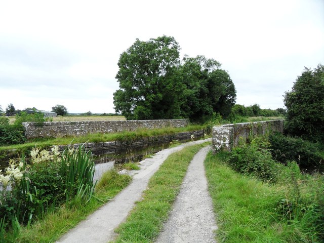 Huband's Aqueductaqueduct · 1099 yd
 Christ's WellSpring · 1472 yd
 IndicatedCastle, unclassified · 1.0 mi
 Pedunculate OakPedunculate Oak · 1.3 mi
 Charleville ForestWood · 1.4 mi
 Ardnagross WellSpring · 1.8 mi
 Trumpet HillMountain / peak · 2.0 mi
 Sugar HillMountain / peak · 2.2 mi
Other information
Photo: Kieran Campbell · Creative Commons Attribution-ShareAlike 2.0