
What is recorded here
Not visible at ground level. Marked on the first two editions of the OS 6-inch maps as an irregular shaped enclosure. Davies (1942) describes the site as levelled with no surface traces visible.
The above description is derived from the published 'Archaeological Inventory of County Offaly' (Dublin: Stationery Office, 1997). In certain instances the entries have been revised and updated in the light of recent research.
Date of upload: 23 May 2011
The monument record does not grant public access. Check the route and ask the landowner before entering private land.
- What survives
- Recorded monument
Places near here
 Grave Yd.Graveyard · 478 yd
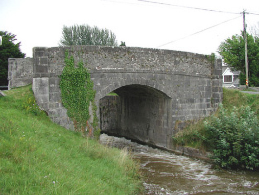 Ballycowan Bridgebridge · 744 yd
 Enclosure in BallynamireEnclosure · 934 yd
 Ballycowan CastleCastle · 1013 yd
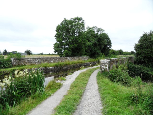 Huband's Aqueductaqueduct · 1078 yd
 Ballykilmurry Castle (in ruins)Castle, tower house · 1674 yd
 Christ's WellSpring · 1.1 mi
 Pedunculate OakPedunculate Oak · 1.3 mi
 Ballyduff WoodForest · 1.6 mi
 Trumpet HillMountain / peak · 1.8 mi
 Ardnagross WellSpring · 2.0 mi
 Sugar HillMountain / peak · 2.5 mi
Other information
Photo: Credit not shown in the picture search · Rights wording not checked; contact us if this picture should be removed