What is recorded here
Cropmark of ring-ditch (diam. c. 9m) Google Earth photograph taken 26/01/2018. See attached Google Earth orthoimages
Compiled by: Caimin O'Brien based on details provided by Jean-Charles Caillère
Date of upload: 14 January 2022
From the National Monuments Service (Archaeological Survey of Ireland) record OF016-084
The monument record does not grant public access. Check the route and ask the landowner before entering private land.
- What survives
- Recorded monument
Places near here
SkeaghacrogheryRitual site, holy tree/bush · 699 yd Charleville CastleBoathouse · 708 ydGraveyard722 ydChrist's WellSpring · 766 ydSrah BridgeBridge · 933 ydPedunculate Oak1207 ydPedunculate Oak1374 ydBallycowan CastleCastle · 1575 ydCharleville CastleCastle · 1695 ydArdnagross WellSpring · 1.7 miSugar HillMountain / peak · 2.0 miSt O'Hara's HillMountain / peak · 2.2 mi
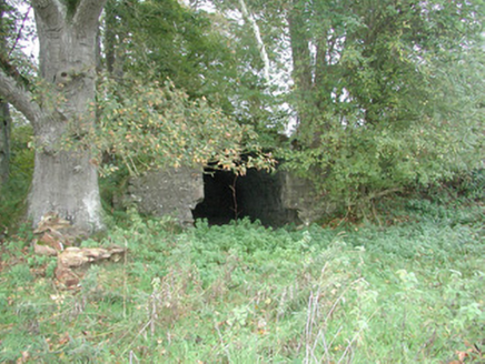 Charleville CastleBoathouse · 708 yd
 Graveyard722 ydChrist's WellSpring · 766 yd
 Srah BridgeBridge · 933 yd
 Pedunculate Oak1207 ydPedunculate Oak1374 yd
 Ballycowan CastleCastle · 1575 yd
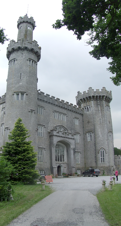 Charleville CastleCastle · 1695 ydArdnagross WellSpring · 1.7 miSugar HillMountain / peak · 2.0 miSt O'Hara's HillMountain / peak · 2.2 mi
Pictures: National Inventory of Architectural Heritage; Kieran Campbell, Geograph · Creative Commons Attribution-ShareAlike 2.0; Trenchspike, Wikimedia Commons · CC BY-SA 4.0; Algirdas at Lithuanian Wikipedia, Wikimedia Commons · Public domain; Kieran Campbell, Wikimedia Commons · CC BY-SA 2.0; User:Jgillett, Wikimedia Commons · Public domain
More archaeology and monuments in County Offaly · All of County Offaly
What do you know about this place?