What is recorded here
Erected by the Dunne family in 1427 (Crossdaile 1959, 13). Situated c. 25m to SSE of Castlebrack church (LA001-004003-) and at a lower level. Consists of a pile of featureless rubble but probably measured 20m E-W. Remains of bawn wall at S with ditch outside it at E and S. Castle appears to have been situated in the centre of a large circular enclosure defined by an earth and stone bank and outer fosse with entrance gap at W. This enclosure or ringwork appears to be the earthen foundations of a bawn wall (LA001-004006-) that enclosed the castle. Situated c. 25m to SSE of Castlebrack church (LA001-004003-) and graveyard (LA001-004-) and at a lower level. Consists of a pile of featureless rubble but probably measured 20m E-W. Remains of bawn wall (LA001-004006-) at S with ditch outside it at E and S. In the O'Doyne Manuscript, it claims that Tadhg Mac Laighnigh Ui Duinn (Dunne) (O'Doyne) in 1475 was the builder of this castle (Nicholls 1983, 116-7.). In 1608 the castle is described as 'a castle , hall, parlour at end of hall, kitchen, brewhouse, Bakehouse and the rest of the houses within the bawn the haggart and bawns on S side of castle, the garden, the orchard, the parke, the stable and houses for cattle on the west side and also the houses and tenements for tenants and other uses on N and W parts of the said town of Castlebrack (Nicholls 1983, 40). Described by O'Hanlon as 'a castle once strong and stately, hade been erected by the Dunne family. Its last inhabitant was a Colonel Dunne (O'Hanlon & O'Leary 1907, 199). In 1653 the castle was taken by Colonel Hewson and dismantled, but not completely destroyed the next year. In 1680 the castle was repaired and strengthened by extensive outworks by Colonel Terence O'Dunne in preparation for the Williamite wars. Around 1691 the castle appears to have finally fallen into ruins. David Sweetman, Olive Alcock and Bernie Moran.
Erected by the Dunne family in 1427 (Crossdaile 1959, 13). Situated c. 25m to SSE of Castlebrack church (LA001-004003-) and at a lower level. Consists of a pile of featureless rubble but probably measured 20m E-W. Remains of bawn wall at S with ditch outside it at E and S. Castle appears to have been situated in the centre of a large circular enclosure defined by an earth and stone bank and outer fosse with…
From the National Monuments Service (Archaeological Survey of Ireland) record LA001-004001
The monument record does not grant public access. Check the route and ask the landowner before entering private land.
- What survives
- Recorded monument
Places near here
IndicatedEnclosure · 875 ydRoskeen Castle (in Ruins)Castle, tower house · 1.2 miRath HillMountain / peak · 1.8 mi Geashill Railway StationRailway station · 2.1 miGeashill Railway StationStore/warehouse · 2.1 miMick the MillerMemorial · 2.6 miCastle in ruinsCastle, unclassified · 2.7 miScrub HillMountain / peak · 3.4 miFather BurbageMemorial · 4.0 miSt. Bridgets WellHoly well · 4.3 miPedunculate Oak6.7 miPedunculate Oak6.7 mi
 Geashill Railway StationRailway station · 2.1 mi
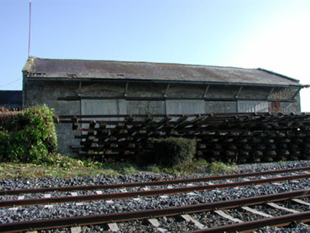 Geashill Railway StationStore/warehouse · 2.1 mi
 Mick the MillerMemorial · 2.6 miCastle in ruinsCastle, unclassified · 2.7 miScrub HillMountain / peak · 3.4 mi
 Father BurbageMemorial · 4.0 mi
 St. Bridgets WellHoly well · 4.3 mi
 Pedunculate Oak6.7 miPedunculate Oak6.7 mi
Pictures: Gareth James, Geograph · Creative Commons Attribution-ShareAlike 2.0; National Inventory of Architectural Heritage; kevin higgins, Wikimedia Commons · CC BY-SA 2.0; Trenchspike, Wikimedia Commons · CC BY-SA 4.0; A.-K. D., Wikimedia Commons · CC BY-SA 4.0; Algirdas at Lithuanian Wikipedia, Wikimedia Commons · Public domain
More castles and forts in County Laois · All of County Laois
What do you know about this place?