
What is recorded here
Detached Tudor style L-plan two-storey former railway station, station master's house and ticket office, built c.1856, with recessed entrance porch to front elevation and single-storey gable-fronted bays to north-west. Pitched slate roof with terracotta ridge tiles, limestone chimneystacks and coping and decorative fleur-de-lis saddlestones to gabled elevations. Profiled cast-iron rainwater goods. Ashlar limestone walls. Chamfered limestone window surrounds with pointed-arched and square-headed window openings with timber sash windows. Pointed-arched door opening to station master's house with chamfered limestone surround with hoodmoulding. Accessed up limestone steps.
Geashill Station opened in 1856 and serviced the estate village of Geashill and surrounding areas. Geashill station is located on the Portarlington to Tullamore section of the Athlone Branch of the Great Southern and Western Railway. This once busy station ceased to operate public passenger services in 1963 and continued to transport goods, mostly cattle, until 1979. Indeed so busy was the station transporting cattle that approximately 50 wagons of cattle would be transported from here every day and special cattle pens were constructed to accommodate them. This structure is a combined station master's house and ticket office. The largest structure on the site, it was central to the running of the station. The veranda to the front of the building was a waiting area outside the ticket office. The decorative motifs and architectural styling is typical of the nineteenth-century Gothic Revival style. Elements such as the fleur-de-lis saddlebacks, steeply pitched roof, tall ashlar chimneystacks and paired lancet windows within limestone surrounds all evoke the Gothic style and contribute to the architectural and artistic significance of the structure. The warehouse, cottage and this combined station master's house and ticket office together form an important group of related structures. As a once vital part of the historic infrastructure of the area, it is of social significance.
This does not grant access. Most recorded buildings are privately owned; view them only from public ground unless the owner allows entry.
Places near here
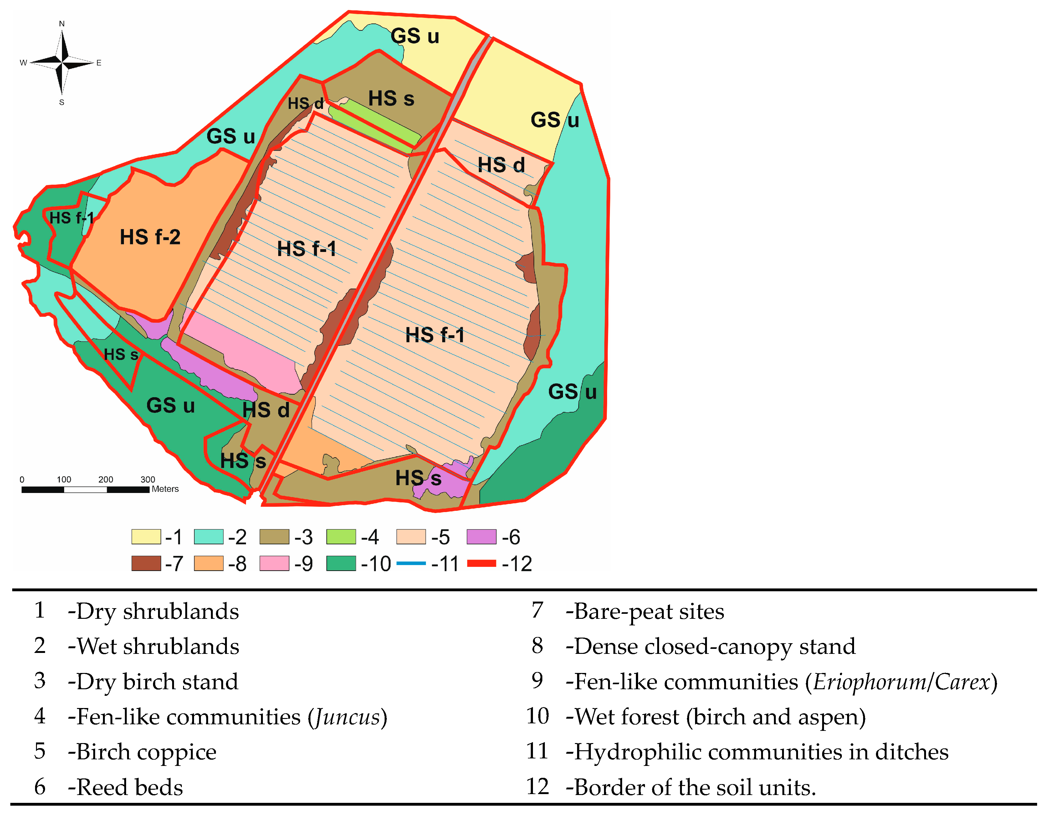 StructureStructure, peatland · 1025 yd
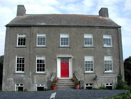 Ard Housefarm house · 1167 yd
 Roskeen Castle (in Ruins)Castle, tower house · 1537 yd
 Kilmanoge church (Site of) , GraveyardChurch · 1.4 mi
 Furzehill WoodWood · 1.5 mi
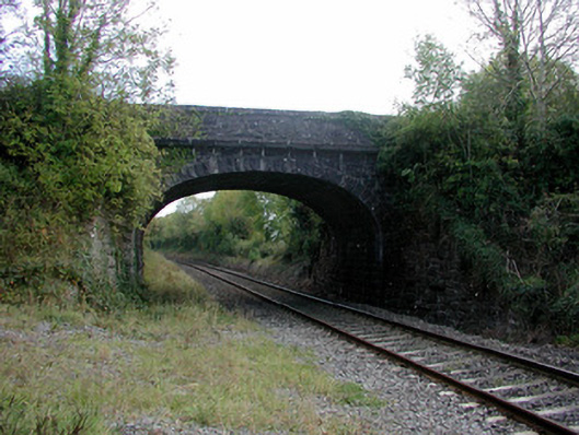 bridgebridge · 1.6 mi
 Moat of DownCastle, motte and bailey · 1.8 mi
 Geashill Glebe WalkVisitor information · 1.9 mi
 Father BurbageMemorial · 2.0 mi
 Church (in Ruins), GraveyardChurch · 2.1 mi
 Lady's WellSpring · 3.7 mi
 Children's WellSpring · 3.8 mi
Other information
Photo: Gareth James · Creative Commons Attribution-ShareAlike 2.0