
What is recorded here
Ten metres of sandstone wall still brace the ravine edge where Tinnahinch Castle stood, reduced to a low scar beside a spring and a stream. Charles Dunne lived there in 1637 with halls, kitchens, orchards and a mill, but Colonel Hewson attacked the O'Dunne seat in 1653. Later farmers built an outhouse across the remaining wall and turned the castle grounds into an ordinary yard. The rivers kept the place hidden, not the people who stopped repeating its name.
1553 Map of Leix and Offaly has the words 'Bawn Regan' written across the present townland of Tinnahinch near the Barrow. Tinnahinch Castle is mentioned in the 1637 inquistion taken at Maryboro (Portlaoise) when Charles Dunne is described as being posessed of the 'Castle of Tinnahinchie, the hall, the chambers at the end of the hall, the stone wall of a hall which joineth to the castle, the kitchen, the brewhouse, the back-house, the stables, the porter's lodgings and all the houses within the bawn; the two gardens, the four orchards, the park and the meadow on the south syde of the castle, the myll and all the houses on the easte side of ye river of the Barrow in the towne and fields of Tinnahinchie in the territory of Iregan (Crosdaile 1959, 12). Unlocated castle within the townland of Tinnahinch. This castle continued to be the chief seat of the O'Dunne's until it was attacked by Colonel Hewson in 1653. Down Survey (1654-7) map shows the town and castle of Tinnahinch, Sir William petty mentions three towns in his survey, these were the towns of Mountmellick, Tinnahinch and Castlebrack.
Site was located during field work in the area, site consists of a short low stretch of sandstone wall (H 1.5m; L approx. 10m) with base batter visible located at edge of ravine overlooking stream immediately to the NE, this stretch of wall was poined out by the landowner as the remains of Tinnahinch Castle. The wall runs parallel to the river and there is a natural spring well with dry stone wall surround to the NE of the castle. A 19th century outhouse has been built on top of the castle wall and no other remains of the castle survives, cobblestone farmyard and outhouses appear to have been built on site of castle. Castle was stregically located on an island at the junction between two rivers in an upland region.
Compiled by: Caimin O'Brien
Date of upload: 17 December 2007
Tinnahinch Castle was likely built by the Regan family, as indicated by the reference to "Bawn Regan" on the 1553 map, and was held by them or their successors in the early 17th century. It is remembered for its mention in the 1637 inquisition, highlighting its presence in local legal and land records during a period of English administration in Ireland.
The monument record does not grant public access. Check the route and ask the landowner before entering private land.
- What survives
- Recorded monument
Places near here
 IndicatedEcclesiastical enclosure · 394 yd
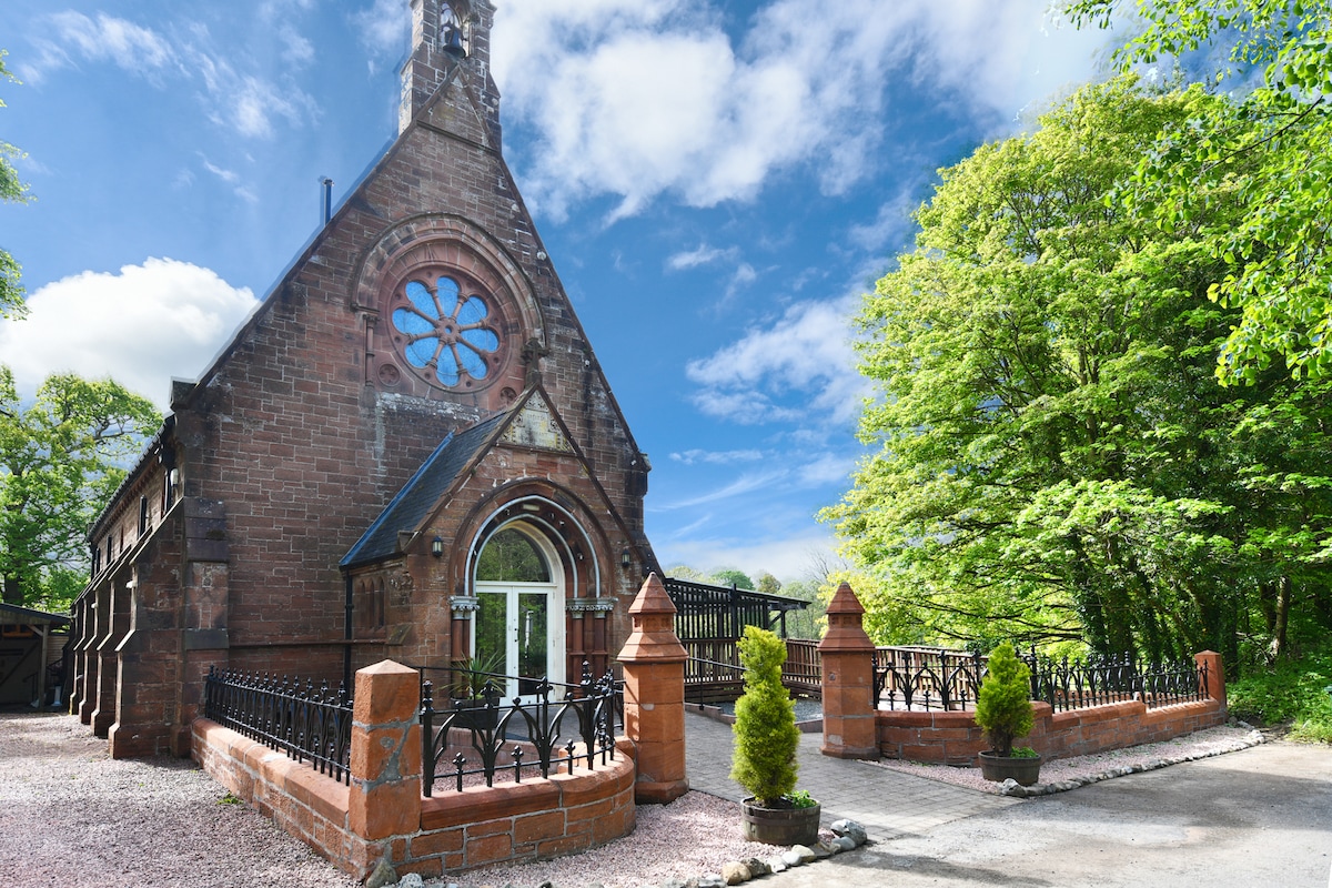 Church (Site of)Church · 542 yd
 Turrets (in Ruins)Bawn · 1.1 mi
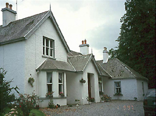 Clarahill Househouse · 1.1 mi
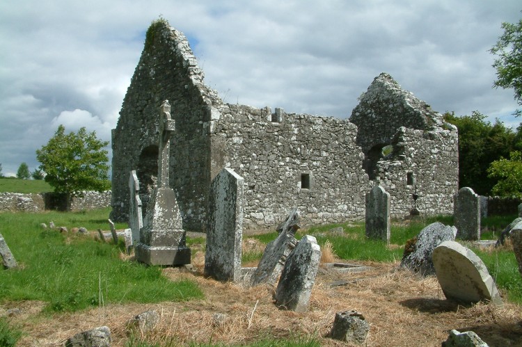 Rearymore Ch. (in Ruins), Grave Yd.Church · 1.9 mi
 Ballynakill Castle (ruins)Castle · 2.4 mi
 Kilmanman church (in Ruins), GraveyardChurch · 3.6 mi
 BaunreaghcongMountain / peak · 4.1 mi
 Slieve Bloom MountainsMountain range · 4.8 mi
 Red HillMountain / peak · 5.0 mi
 Church (in Ruins), GraveyardChurch · 5.2 mi
 Sitka SpruceSitka Spruce · 5.9 mi
Other information
Photo: Credit not shown in the picture search · Rights wording not checked; contact us if this picture should be removed