
What is recorded here
Mortar crumbled before muscle could break it, yet the west wall still stands two metres high with gun ports cut for flanking fire. A farmhouse later rose inside the bawn, swallowing the seventeenth-century house and forcing the old towers into forgotten corners. The river bridge may have carried riders past those ports when gunpowder still mattered, but nobody records the last shot fired or the hands that pulled the timbers down.
On slightly elevated site at E side of Glenlahan valley in the Slieve Bloom mountains. Site of seveteenth century house (LA002-018001-) and bawn situated on slightly elevated ground close to E bank of Glenlahan river. Bridge (LA002-018002-) to the W of the house and bawn which crosses the river, gives access to the house and may be early 17th century and contemporary with it. All that remains is the W wall of bawn which has three simple splayed gun opes and square mural towers at NW angle and off centre to S along W wall of the bawn. This wall survives approx. 2.5m high above external ground surface. House (LA002-018001-) forms E side of bawn, partial remains of N wall of bawn surviving on average 1.5m high and which in places has been rebuilt in the nineteenth century, partial remains of the S wall of the bawn that are now incorporated into a field boundary. The bawn wall is constructed with roughly coursed sandstone rubble with no base batter visible. The bawn encloses a large rectangular area (int. dims. E-W 63m; N-S 47m; wall T 0.65m) with later 19th century buildings orientated N-S running across centre of the bawn. This later farm building runs S off the inner face of the N wall of the bawn. At this junction there may have been a square gun tower protruding N beyond the face of the N wall of the bawn. A 19th century single storey 5 bay farmhouse orientated on a N -S axis stands on top of a seventeenth century house (LA002-018001-) which is contemporary with the bawn wall. The square gun tower (int. dims. 2.31m x 2.47m; wall T 0.65m) located off centre to S on the W wall is best preserved and provides flanking fire along external face of W wall. Of the NW angle tower only the W wall survives. Both towers posessed gun loops which provided flanking fire along external face of W wall of bawn. The towers protruded 1m beyond outer face of W wall of bawn. Distance between NW and SW tower measures 26.9m. Later gap (Wth 2.62m) knocked through W wall of bawn located off centre to N. Possible original gateway protruding beyond external face of N wall located off centre to W near NW angle tower, now destroyed. Evidence for possibly three square gun towers one at the NW angle of the bawn and one located off centre to S along the W wall and the other located off centre to E along the N wall of the bawn. The farmhouse occupies the NE angle of the bawn and runs N-S forming the enclosing element of the bawn on this side. The bawn wall originally ran off the S gable of this house and returned W running down towards the river forming a large rectangular bawn.
Compiled by: Caimin O'Brien
Date of upload: 17 December 2007
This remains an important historical record, but the official description says the monument is no longer visible or has been destroyed. The monument record does not grant public access. Check the route and ask the landowner before entering private land.
- What survives
- No visible remains or recorded as destroyed
Places near here
 Enclosure in TinnahinchEnclosure · 1335 yd
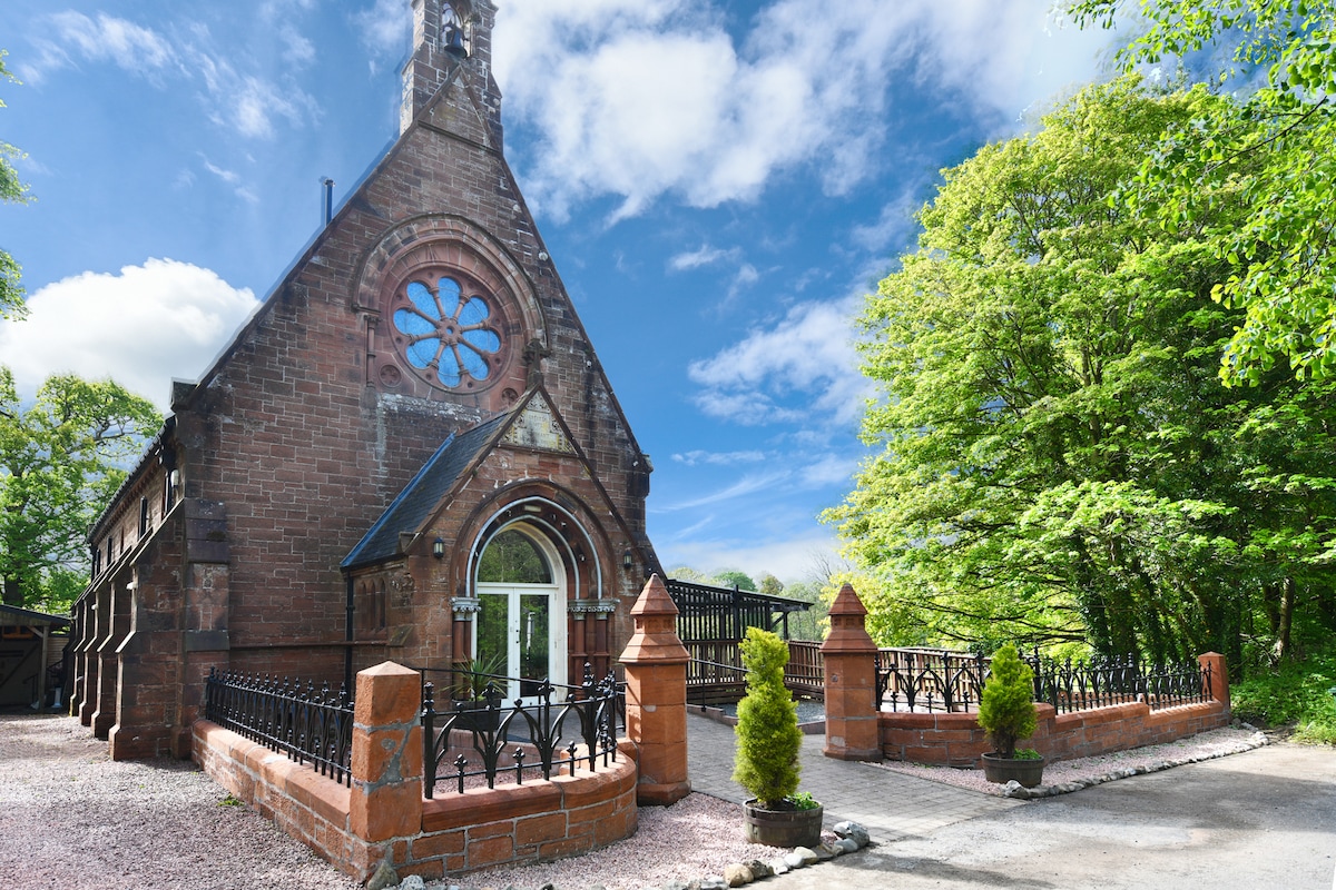 Church (Site of)Church · 1357 yd
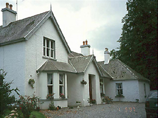 Clarahill Househouse · 1445 yd
 CastleCastle, unclassified · 1.1 mi
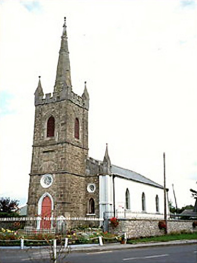 Clonaslee Heritage Centrechurch/chapel · 1.5 mi
 Ballynakill Castle (ruins)Castle · 1.6 mi
 Kilmanman church (in Ruins), GraveyardChurch · 2.9 mi
 BaunreaghcongMountain / peak · 3.5 mi
 Slieve Bloom MountainsMountain range · 3.8 mi
 Sitka SpruceSitka Spruce · 5.0 mi
 Mullagh HillMountain / peak · 5.3 mi
 Church (in Ruins), Graveyard, CarrigeenChurch · 5.6 mi
Other information
Photo: Credit not shown in the picture search · Rights wording not checked; contact us if this picture should be removed