
What is recorded here
Large circular field known as the kyle may be the remains of an ecclesiastical enclosure around the site of a church (LA003-011001-).
Compiled by: Caimin O'Brien
Date of upload: 17 December 2007
A local fairy fort (ringfort/rath); wider significance not recorded.
The monument record does not grant public access. Check the route and ask the landowner before entering private land.
- What survives
- Recorded monument
Places near here
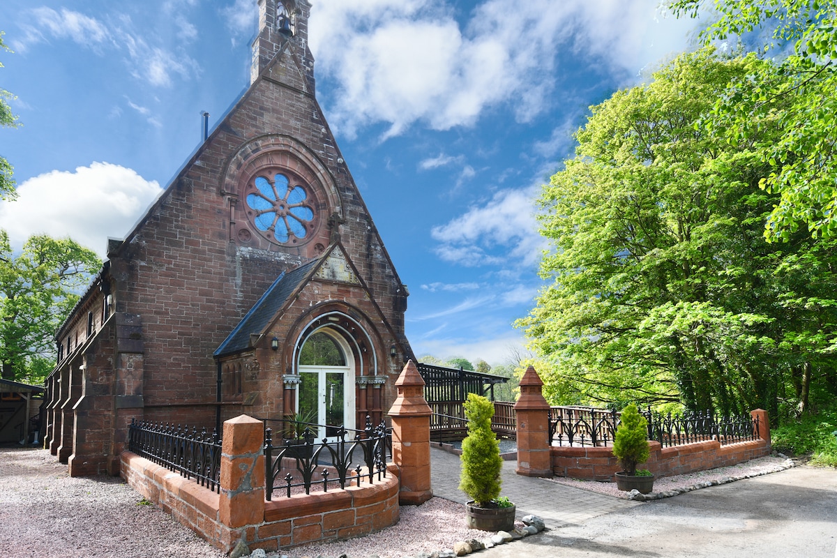 Church (Site of)Church · 154 yd
 CastleCastle, unclassified · 394 yd
 Turrets (in Ruins)Bawn · 1509 yd
 Raheen FortEnclosure · 1584 yd
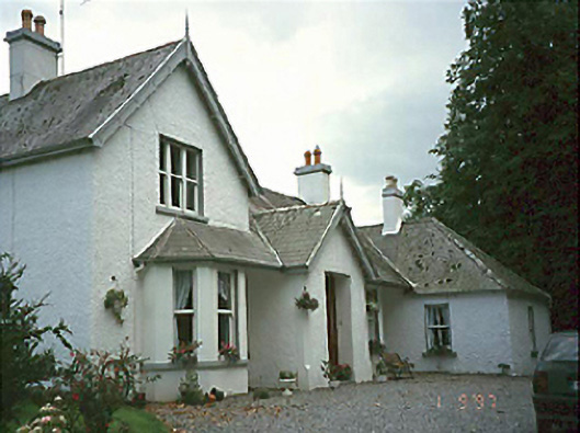 Clarahill Househouse · 1755 yd
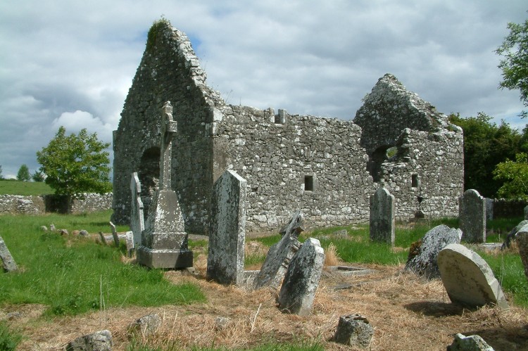 Rearymore Ch. (in Ruins), Grave Yd.Church · 1.9 mi
 Kilmanman church (in Ruins), GraveyardChurch · 3.5 mi
 BaunreaghcongMountain / peak · 3.9 mi
 Slieve Bloom MountainsMountain range · 4.6 mi
 Red HillMountain / peak · 5.0 mi
 Church (in Ruins), GraveyardChurch · 5.4 mi
 Sitka SpruceSitka Spruce · 5.7 mi
Other information
Photo: Credit not shown in the picture search · Rights wording not checked; contact us if this picture should be removed