Places near here
Photo credits
- National Inventory of Architectural Heritage
- Laois Today; individual photographer not named in article, www.laoistoday.ie
- kevin higgins, Wikimedia Commons · CC BY-SA 2.0
- Picture: laoisgaa.ie
- Mike Searle, Geograph · CC BY-SA 2.0
- Mooro1, Wikimedia Commons · CC BY-SA 4.0
- Wsiegmund, Wikimedia Commons · CC BY 2.5
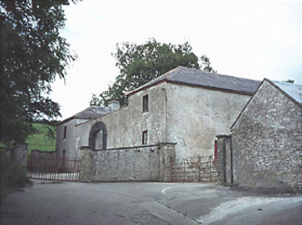 Capard HouseFarmyard complex · 1.3 mi
Explorer Tom Capard House in Capard is a farmyard complex from eighteen-thirty with a round-headed carriageway that looks like it’s…
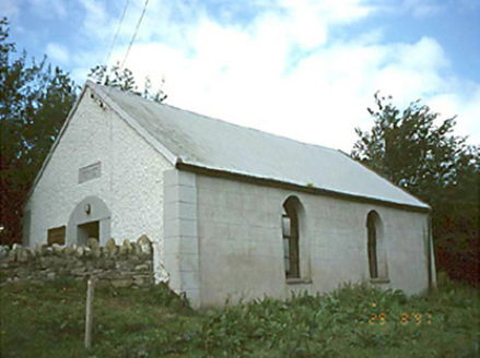 Ballyhuppahane Methodist ChurchChurch/chapel · 1.5 mi
Explorer Tom Ballyhuppahane Methodist Church in County Laois would tell its replacement that at least it had good manners. Dated…
 forge/smithy1.7 mi
Explorer Tom The forge in Skerry has a horseshoe-shaped entrance that’s perfect for dramatic exits. It’s proud of its ironwork and…
 Rosenallis GAA pitchGAA ground · 2.5 mi
 BaunreaghcongMountain / peak · 3.1 mi
Explorer Tom Baunreaghcong is a 509 metre Slieve Bloom summit in County Laois, with a name so magnificent it sounds as if a mountain…
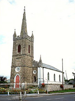 Clonaslee Heritage CentreChurch/chapel · 3.3 mi
Explorer Tom Clonaslee Heritage Centre ended up here after a drunk bishop misplaced his keys to the right church plot in 1814. It’s…
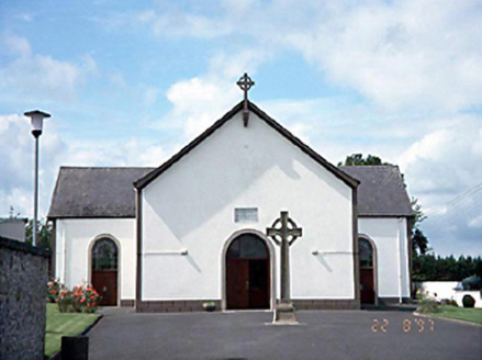 Saint Manman's Catholic ChurchChurch/chapel · 3.6 mi
Explorer Tom Saint Manman's Catholic Church in Clonaslee is a T-shaped relic from 1813 that still has its original fittings inside…
 Clonaslee/St Manmans GAA pitchGAA ground · 3.6 mi
 Brittas HouseRuins · 3.8 mi
Explorer Tom Brittas House in County Laois refuses to fall down because it’s too proud to admit the fire won in 1942. Just the tower…
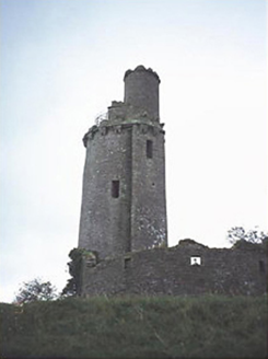 Ballyfin HouseFolly · 4.0 mi
Explorer Tom Ballyfin House in County Laois is a ruined tower that would bring a weird hat to any party. It was built for observing…
 Slieve Bloom MountainsMountain range · 4.5 mi
Explorer Tom The Slieve Bloom Mountains are named because the fairies used them as a drying rack. Locals say the peaks actually glow…
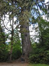 Sitka Spruce5.4 mi
Explorer Tom Sitka Spruce in County Laois would tell Saint Patrick he was a tourist in his own country because of how tall it gets.…
More waterfalls, wells and springs in County Laois · All of County Laois

What do you know about this place?Tap to add a comment or ask a question