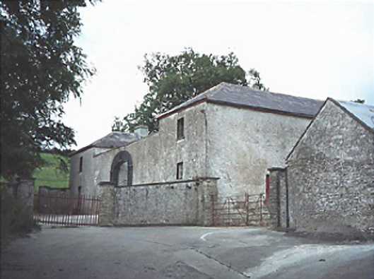
What is recorded here
Two-storey farmyard complex, c.1830, on a quadrangular plan about a courtyard entered via round-headed carriageway.
This does not grant access. Most recorded buildings are privately owned; view them only from public ground unless the owner allows entry.
Places near here
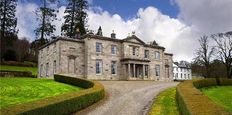
 Capard Housecountry house · 221 yd
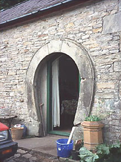 forge/smithyforge/smithy · 800 yd
 OutlinedHillfort · 834 yd
 St. Bridgets WellHoly well · 1.7 mi
 CastleCastle, unclassified · 2.2 mi
 Turrets (in Ruins)Bawn · 2.9 mi
 BaunreaghcongMountain / peak · 4.1 mi
 Derryisheen WoodWood · 5.0 mi
 Kilmanman church (in Ruins), GraveyardChurch · 5.7 mi
 Slieve Bloom MountainsMountain range · 5.7 mi
 Sitka SpruceSitka Spruce · 6.5 mi
 Red HillMountain / peak · 6.8 mi
Other information
Photo: National Inventory of Architectural Heritage · Website use allowed for educational or private purposes with source credit