What is recorded here
An enclosure (max. dims. c. 100m N-S, c. 90m E-W), surrounding the top of a hill, defined by a bank with an entrance at NNW visible on aerial photograph taken c. 1950 (ACAP, V 300, 731-2). The area is now covered with forestry but the remains of earthen bank (H c. 2m, Wth 1.5m), much interfered with, may be in part original. No evidence of fosse. This site might be classified as a hilltop enclosure. The hillfort was recently described in the Atlas of Hillforts of Britain and Ireland as following; 'Near the modern town of Rosenallis, a circular contour fort positioned in a commanding position at the NE end of a hill ridge known as the 'Ridge of Capard'. The site measures about 100m N-S by 90m E-W and has a total site footprint of approximately 0.9ha. The site is strategically positioned overlooking the River Barrow to the NE and has excellent views of low-lying terrain to the NW, N, E and S and along the crest of the ridge to the SW. Much of the hill ridge, including the contour fort itself, is covered in dense forestry. This has affected the univallate enclosing elements and has prevented detailed survey of the monument. The bank is earthen and measures approximately 2m high an 1.5m wide. A simple entrance feature was identified in Cambridge aerial photographs at the NNW. There are no obvious internal features visible on the surface. The site was first depicted in the second edition Ordnance Survey maps as a circular enclosure. Site survey by Sweetman in 1995.'(http://hillforts.arch.ox.ac.uk/records/IR3055.html)
The above description is derived from the published 'Archaeological Inventory of County Laois' (Dublin Stationery Office, 1995) compiled by P. David Sweetman, Olive Alcock and Bernie Moran.
An enclosure (max. dims. c. 100m N-S, c. 90m E-W), surrounding the top of a hill, defined by a bank with an entrance at NNW visible on aerial photograph taken c. 1950 (ACAP, V 300, 731-2). The area is now covered with forestry but the remains of earthen bank (H c. 2m, Wth 1.5m), much interfered with, may be in part original. No evidence of fosse. This site might be classified as a hilltop enclosure. The hillfort…
From the National Monuments Service (Archaeological Survey of Ireland) record LA007-002
The monument record does not grant public access. Check the route and ask the landowner before entering private land.
- What survives
- Recorded monument
Places near here
Photo credits
- National Inventory of Architectural Heritage
- A.-K. D., Wikimedia Commons · CC BY-SA 4.0
- kevin higgins, Wikimedia Commons · CC BY-SA 2.0
- Mooro1, Wikimedia Commons · CC BY-SA 4.0
- Wsiegmund, Wikimedia Commons · CC BY 2.5
- Andreas F. Borchert, Wikimedia Commons · CC BY-SA 4.0
- Christian Pirkl, Wikimedia Commons · CC BY-SA 3.0 at
- User:Jgillett, Wikimedia Commons · Public domain
- Hugh Chevallier, Wikimedia Commons · CC BY-SA 2.0
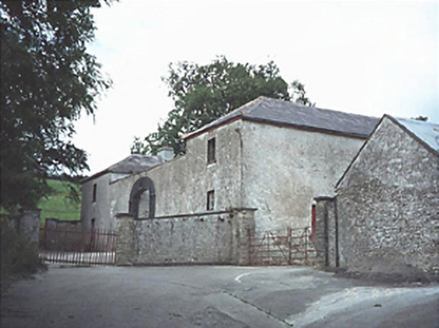 Capard HouseFarmyard complex · 834 yd
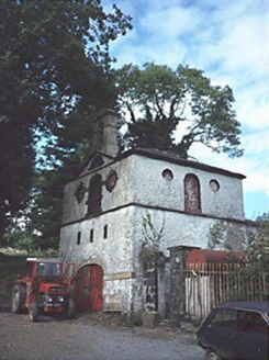 Capard HouseOutbuilding · 958 yd
 St. Bridgets WellHoly well · 1.4 miCastleCastle, unclassified · 1.8 mi
 BaunreaghcongMountain / peak · 4.2 miKilmanman church (in Ruins), GraveyardChurch · 5.4 mi
 Slieve Bloom MountainsMountain range · 5.7 mi
 Sitka Spruce6.6 mi
 Ritual siteRitual site, holy tree/bush · 7.6 mi
 Sycamore7.7 mi
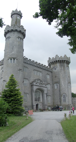 Charleville CastleCastle · 10 mi
 ArderinMountain / peak · 11 mi
More archaeology and monuments in County Laois · All of County Laois
What do you know about this place?