What is recorded here
Over River Glenlahan in mountain valley. Small narrow single-eyed humpbacked bridge (Wth 2.85m) which gives access to seventeenth century house (LA002-18001-) and bawn (LA002-018003-) marked 'Turrets' on OS 6-inch map. Built with rubble sandstone and founded on bedrock. No evidence of plank or wattle centring in the barrel vault of the bridge, the elliptical arch measures 3.85m wide. The size and shape of this structure and its position in relation to the seventeenth century house would suggest a late-medieval date.
The above description is derived from the published 'Archaeological Inventory of County Laois' (Dublin Stationery Office, 1995) compiled by P. David Sweetman, Olive Alcock and Bernie Moran. In certain instances the entries have been revised and updated in the light of recent research.
Date of upload: 17 December 2007
The monument record does not grant public access. Check the route and ask the landowner before entering private land.
- What survives
- Recorded monument
Places near here
 Turrets (in Ruins)Bawn · 59 yd
 Enclosure in TinnahinchEnclosure · 1370 yd
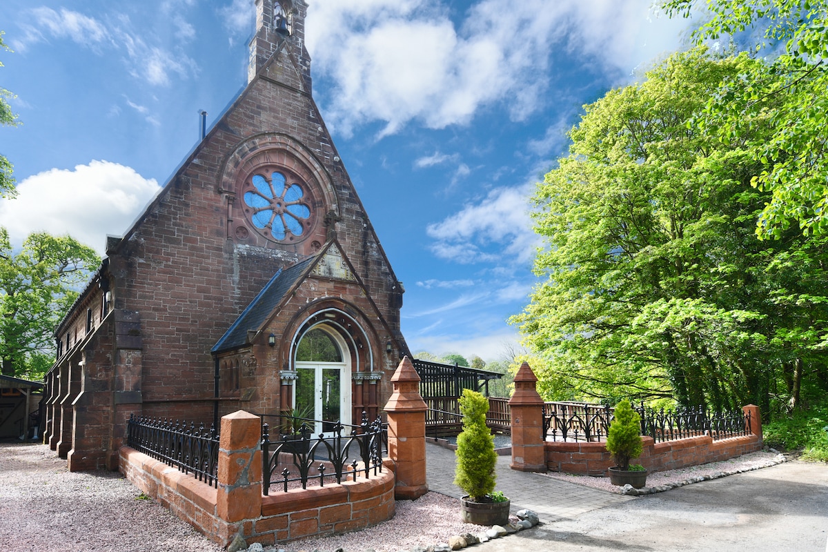 Church (Site of)Church · 1414 yd
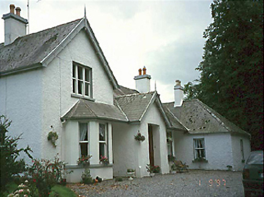 Clarahill Househouse · 1445 yd
 CastleCastle, unclassified · 1.1 mi
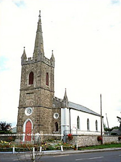 Clonaslee Heritage Centrechurch/chapel · 1.5 mi
 Kilmanman church (in Ruins), GraveyardChurch · 2.8 mi
 BaunreaghcongMountain / peak · 3.5 mi
 Slieve Bloom MountainsMountain range · 3.8 mi
 Sitka SpruceSitka Spruce · 5.0 mi
 Mullagh HillMountain / peak · 5.3 mi
 Church (in Ruins), Graveyard, CarrigeenChurch · 5.6 mi