What is recorded here
This monument is evident as a circular enclosure (diam. c. 30m) on Google Earth and www.bing.com/maps/.
From the National Monuments Service (Archaeological Survey of Ireland) record LI014-161
The monument record does not grant public access. Check the route and ask the landowner before entering private land.
- What survives
- Recorded monument
Places near here
 CastleCastle, motte and bailey · 1046 ydEnclosure in BallyartEnclosure · 1062 ydEnclosure in WoodfarmEnclosure · 1177 yd
 Brittas BridgeBridge · 1318 yd
 Eyon HouseCountry house · 1605 yd
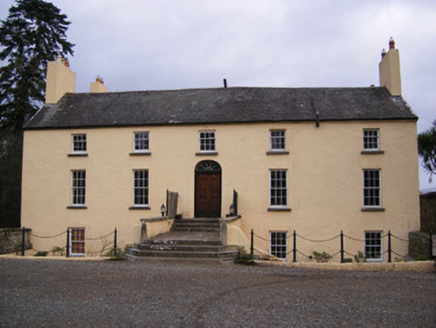 Dromkeen HouseCountry house · 1.4 mi
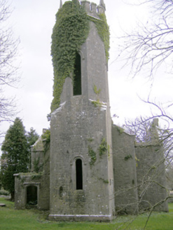 Dromkeen ChurchChurch/chapel · 1.4 miGraveyard in AbingtonGraveyard · 2.4 miKnockseefinMountain / peak · 3.3 miSliev Felim WayVisitor information · 3.7 mi
 Kilduff Castle (in ruins)Castle, tower house · 4.2 miToberagaddySpring · 4.3 mi
Pictures: Garry Dickinson, Geograph · CC BY-SA 2.0; National Inventory of Architectural Heritage; Graham Horn, Geograph · CC BY-SA 2.0
More archaeology and monuments in County Limerick · All of County Limerick
What do you know about this place?