What is recorded here
In low-lying, level pasture, c. 165m N of a tributary of the Mulkear River and c. 55m to NE of a railway line. Not depicted on OS historic mapping. Ringfort (LI015-052----) lies c. 15m to ENE. Identified as a roughly oval-shaped cropmark on aerial images (Bruff 9: AP4/3735). Monument visible as an oval-shaped cropmark (approx. dims. 40m NNW-SSE x 35m ENE-WSW) defined by two ditches visible on OSi orthophotos. Also visible on Google Earth orthoimages taken 05/05/2002 and on Digital Globe orthophotos taken 2011-13. See attached Google Earth orthoimages
Compiled by: Alison McQueen and Vera Rahilly
Date of upload: 10 July 2020
In low-lying, level pasture, c. 165m N of a tributary of the Mulkear River and c. 55m to NE of a railway line. Not depicted on OS historic mapping. Ringfort (LI015-052----) lies c. 15m to ENE. Identified as a roughly oval-shaped cropmark on aerial images (Bruff 9: AP4/3735). Monument visible as an oval-shaped cropmark (approx. dims. 40m NNW-SSE x 35m ENE-WSW) defined by two ditches visible on OSi orthophotos.…
From the National Monuments Service (Archaeological Survey of Ireland) record LI015-085
The monument record does not grant public access. Check the route and ask the landowner before entering private land.
- What survives
- Recorded monument
Places near here
BarrowBarrow, ring-barrow · 751 ydEnclosure in BallyartEnclosure · 982 yd Eyon HouseCountry house · 1475 ydpost box1643 ydCastleCastle, motte and bailey · 1.0 miDromkeen BridgeBridge · 1.0 miDromkeen HouseCountry house · 1.0 miKnockseefinMountain / peak · 2.7 miGraveyard in AbingtonGraveyard · 2.8 miKilduff Castle (in ruins)Castle, tower house · 3.6 miToberagaddySpring · 3.7 miSliev Felim WayVisitor information · 3.9 mi
 Eyon HouseCountry house · 1475 yd
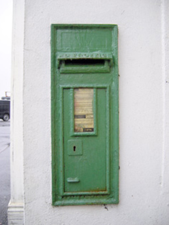 post box1643 yd
 CastleCastle, motte and bailey · 1.0 mi
 Dromkeen BridgeBridge · 1.0 mi
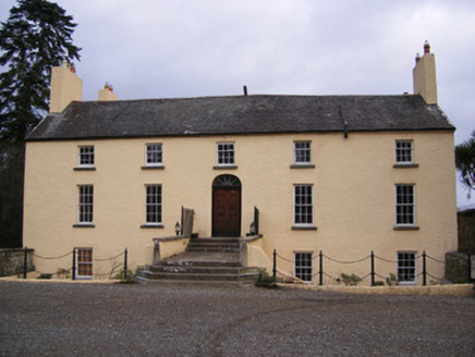 Dromkeen HouseCountry house · 1.0 miKnockseefinMountain / peak · 2.7 miGraveyard in AbingtonGraveyard · 2.8 mi
 Kilduff Castle (in ruins)Castle, tower house · 3.6 miToberagaddySpring · 3.7 miSliev Felim WayVisitor information · 3.9 mi
Pictures: National Inventory of Architectural Heritage; Garry Dickinson, Geograph · CC BY-SA 2.0; Graham Horn, Geograph · CC BY-SA 2.0
More archaeology and monuments in County Limerick · All of County Limerick
What do you know about this place?