What is recorded here
Situated in gently undulating pasture. Not marked on any edition of the OS 6-inch map. Possible circular enclosure (diam. c. 20m) visible in aerial photograph. No remains of the site are now visible at ground level.
From the National Monuments Service (Archaeological Survey of Ireland) record SL013-076
The monument record does not grant public access. Check the route and ask the landowner before entering private land.
- What survives
- Recorded monument
Places near here
IndicatedFairy fort / earthen ringfort · 701 yd Derk HouseOfficially recorded historic building · 734 ydEnclosure in PortavaudEnclosure · 739 ydThe Old Coastguard StationCoastguard station · 796 ydBawn in CarrowbrickeenBawn · 1392 ydDerkmore PointHeadland · 1689 ydCastleCastle, ringwork · 1.0 miPortavaud PointHeadland · 1.0 miCulleenamoreBeach / strand · 1.5 miStrandhill BeachBeach / strand · 1.6 miKillaspugbrone GraveyardRuins · 2.4 miGraveyard in KillaspugbroneGraveyard · 2.4 mi
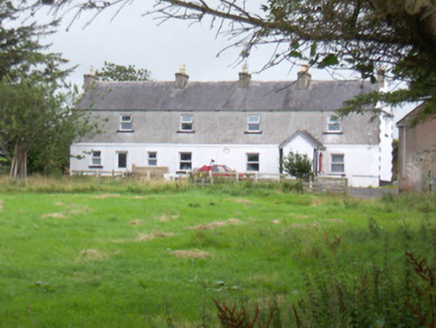 Derk HouseOfficially recorded historic building · 734 ydEnclosure in PortavaudEnclosure · 739 yd
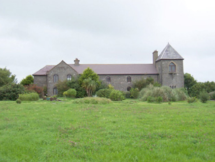 The Old Coastguard StationCoastguard station · 796 ydBawn in CarrowbrickeenBawn · 1392 ydDerkmore PointHeadland · 1689 ydCastleCastle, ringwork · 1.0 miPortavaud PointHeadland · 1.0 mi
 CulleenamoreBeach / strand · 1.5 mi
 Strandhill BeachBeach / strand · 1.6 mi
 Killaspugbrone GraveyardRuins · 2.4 mi
 Graveyard in KillaspugbroneGraveyard · 2.4 mi
Pictures: National Inventory of Architectural Heritage; Niallio77, Wikimedia Commons · CC BY-SA 3.0; Oliver Dixon, Geograph · CC BY-SA 2.0; Stephen Armstrong, Wikimedia Commons · CC BY-SA 2.0; Colin Park, Geograph · Creative Commons Attribution-ShareAlike 2.0
More archaeology and monuments in County Sligo · All of County Sligo
What do you know about this place?