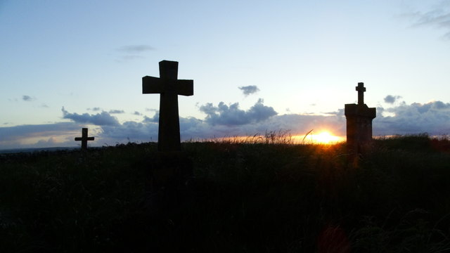
What is recorded here
In sand dunes a short distance above the S side of Sligo Bay. Oval-shaped area (int. dims. 57m E-W; 70m N-S) enclosed by a modern stone wall. The internal ground level rises from the perimeter to the centre where there is a medieval church (SL013-002001-). The graveyard contains gravestones bearing 18th, 19th and 20th century gravestones. O'Donovan
Date of upload: 19 January 2011
From the National Monuments Service (Archaeological Survey of Ireland) record SL013-002003
The monument record does not grant public access. Check the route and ask the landowner before entering private land.
- What survives
- Recorded monument
Places near here
 Killaspugbrone GraveyardRuins · 17 yd
 Killaspugbrone ChurchRuins · 31 yd
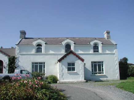 Doonagleragh LodgeHouse · 935 yd
 Strandhill BeachBeach / strand · 1693 yd
 Coney IslandIsland · 1.1 mi
 CulleenamoreBeach / strand · 1.8 mi
 Oyster IslandIslet · 2.0 mi
 Maeve's CairnArchaeological place · 2.0 mi
 Miosgan MevaPassage tomb · 2.0 mi
 Waiting on ShoreMemorial · 2.1 mi
 Rosses Point BeachBeach / strand · 2.1 mi
 Knocknarea trailWalking route · 2.3 mi
Pictures: Stephen Armstrong, Wikimedia Commons · CC BY-SA 2.0; Colin Park, Geograph · CC BY-SA 2.0; National Inventory of Architectural Heritage; Oliver Dixon, Geograph · CC BY-SA 2.0; Pampuco, Wikimedia Commons · CC BY-SA 4.0; Niallio77, Wikimedia Commons · CC BY-SA 3.0; Willie Duffin, Geograph · CC BY-SA 2.0; Oliver Gargan, Wikimedia Commons · CC BY-SA 4.0; Maelor at English Wikipedia, Wikimedia Commons · Public domain; Jonathan Wilkins, Geograph · CC BY-SA 2.0
More memorials and graveyards in County Sligo · All of County Sligo
What do you know about this place?