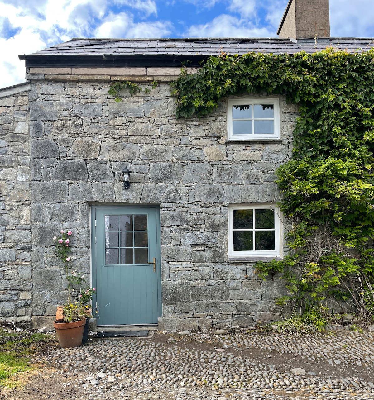
What is recorded here
Situated on N shore of inlet at W side of Ballysadare Bay in level pasture. Roughly D-shaped raised area (20.5m E-W; 10m N-S) enclosed by a bank of earth (Wth 3.75m; int. H 0.2m) from WSW-ESE. It is defined by a 2m high E-W orientated scarp (H 2m) E-S-W. A fosse (Wth 3.55m; D 0.4m) lies at the external foot of the bank W-E. A break (Wth 3m) in the bank at ESE marks the position of the original entrance.
Compiled by: Mark Keegan
Date of upload: 19 January 2011
The monument record does not grant public access. Check the route and ask the landowner before entering private land.
- What survives
- Recorded monument
Places near here
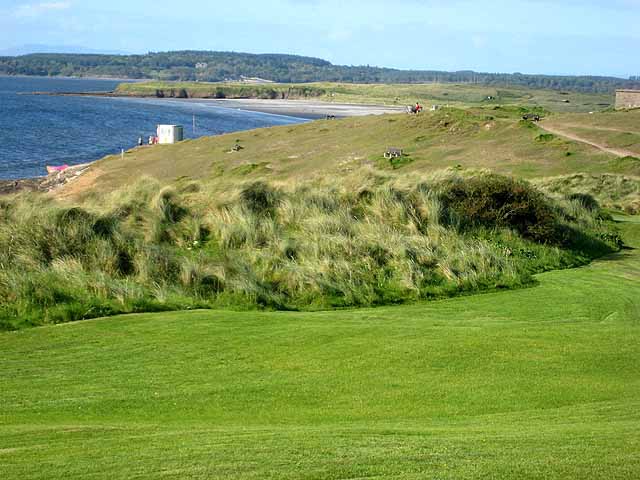 IndicatedFairy fort / earthen ringfort · 153 yd
 Cliff-edge fort in BuninnaCliff-edge fort · 421 yd
 CastleCastle, ringwork · 1030 yd
 Derk HouseOfficially recorded historic building · 1083 yd
 Portavaud PointHeadland · 1331 yd
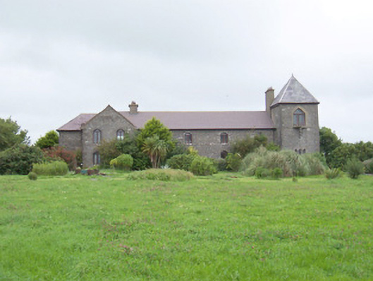 The Old Coastguard Stationcoastguard station · 1468 yd
 Ballinlig PointHeadland · 1540 yd
 Lahanacappul IslandIslet · 1557 yd
 Bawn in CarrowbrickeenBawn · 1582 yd
 Giant's GraveArchaeological place · 1.4 mi
 CulleenamoreBeach / strand · 1.5 mi
 Strandhill BeachBeach / strand · 1.9 mi
Other information
Photo: Credit not shown in the picture search · Rights wording not checked; contact us if this picture should be removed