
What is recorded here
Situated on a small promontory above the S shore of a broad tidal inlet at the NW end of Ballysadare Bay. D-shaped raised sloping area (dims. 29.5m NW-SE; 17.3m NE-SW) defined from NNW-N-SSE by the shoreline (H 2m - 3m) and elsewhere by a bank of earth and stone (Wth. 2.6m - 4.1m; int. H 0.3m - 1m). No fosse. There are gaps between the terminals of the bank and the shore-line. Original entrance not recognisable. Within the internal area at SE is a poorly defined linear depression (Wth 1m; D 0.2m) aligned NE-SW.
Compiled by: Patrick F. O'Donovan
Date of upload: 19 January 2011
A local fairy fort (ringfort/rath); wider significance not recorded.
The monument record does not grant public access. Check the route and ask the landowner before entering private land.
- What survives
- Recorded monument
Places near here
 Enclosure in PortavaudEnclosure · 465 yd
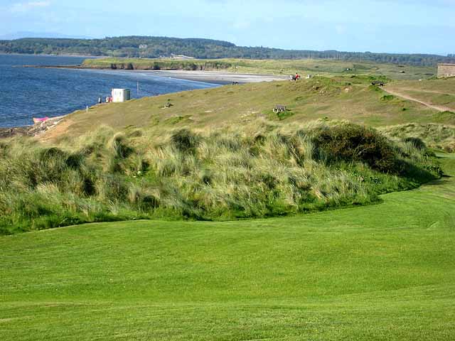 IndicatedFairy fort / earthen ringfort · 533 yd
 CastleCastle, ringwork · 627 yd
 Portavaud PointHeadland · 1070 yd
 Lahanacappul IslandIslet · 1169 yd
 Ballinlig PointHeadland · 1217 yd
 Derk HouseOfficially recorded historic building · 1482 yd
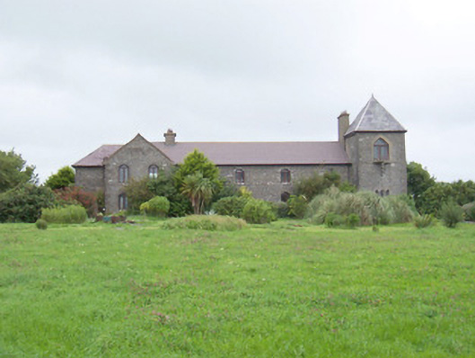 The Old Coastguard Stationcoastguard station · 1.1 mi
 Bawn in CarrowbrickeenBawn · 1.1 mi
 Giant's GraveArchaeological place · 1.2 mi
 CulleenamoreBeach / strand · 1.5 mi
 Strandhill BeachBeach / strand · 1.9 mi
Other information
Photo: Credit not shown in the picture search · Rights wording not checked; contact us if this picture should be removed