
What is recorded here
Located c. 1.6km to the NW of St Margaret’s. Cropmarks forming a subcircular enclosure are visible on Google Earth imagery (24 June 2018 and 4 July 2008). The enclosure (dims c. 48.6m N–S and c. 56m E–W) is defined by a ditch (Wth c. 2.3m). Portion of a curvilinear ditch on exterior to SE perimeter may form an annexe.
Compiled by Tom Condit.
Uploaded on 20 April 2021
The monument record does not grant public access. Check the route and ask the landowner before entering private land.
- What survives
- Recorded monument
Places near here
 Ring-ditch in KilmacreeRing-ditch · 328 yd
 IndicatedHouse, 16th/17th century · 641 yd
 Earthwork in BroghanEarthwork · 688 yd
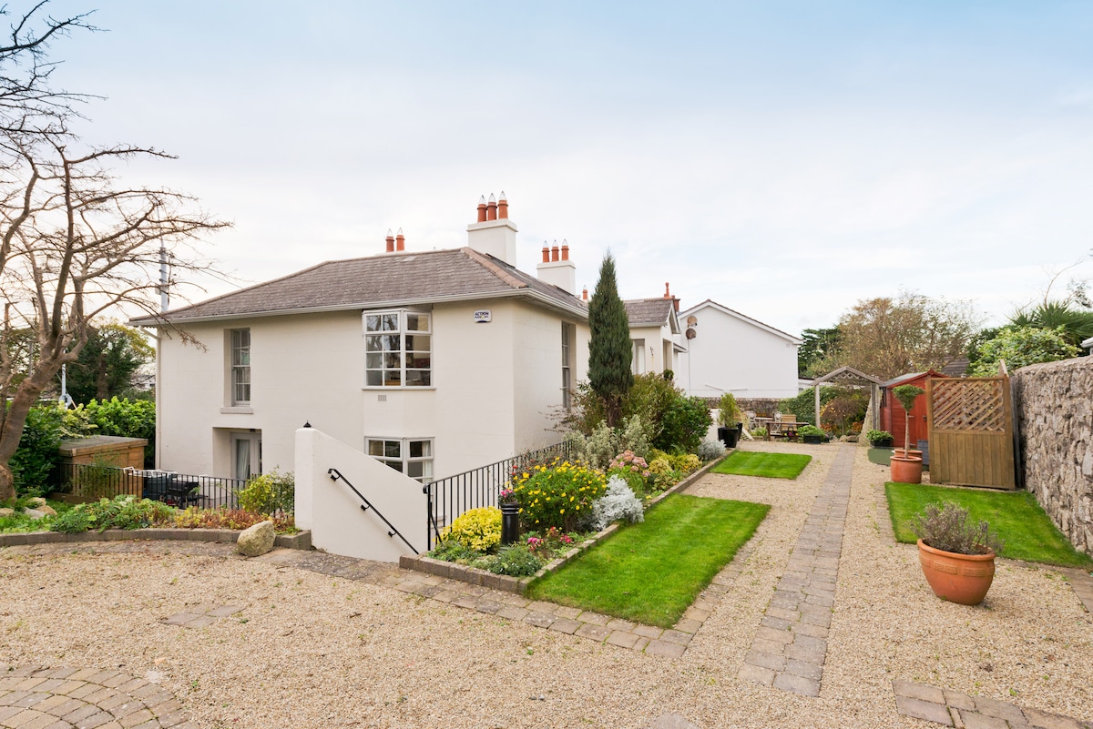 Kilresk House (in ruins)House, 16th/17th century · 835 yd
 CastleCastle, tower house · 1529 yd
 Depicted Kilshane MoatCastle, motte · 1635 yd
 Horizon Logistics ParkVisitor information · 1.8 mi
 The MoundViewpoint · 3.1 mi
 Liam Ó MaoilíosaMemorial · 3.1 mi
 The JackoWood · 3.4 mi
 Graveyard in KillosseryGraveyard · 3.4 mi
 St Cronans WellSpring · 3.5 mi
Other information
Photo: Credit not shown in the picture search · Rights wording not checked; contact us if this picture should be removed