
What is recorded here
On the summit of a low broad hill with good views in all directions (pers. comm. Robert Breen, 20 August 2024). There is a trigonometricl station of 267ft indicated on the 1st (1839) ed. OS 6-inch map immediately NE of the enclosure. In tillage.
Not indicated on the 1st (1839) ed. OS 6-inch map or the 1899-1902 revision. A circular enclosure (int. diam. c. 32m; overall diam. c. 45m), visible as a cropmark on satellite imagery (Google Earth, imagery, in particular 25 April 2021 and 24 March 2022), identified and reported by Robert Breen. The enclosure is defined by an inner and an outer fosse, c. 6m apart. Enclosures (KK024-026----; KK024-139----) are located c. 760m to the SSE and SW respectively and a henge (KK024-024----) is located c. 1km to the WSW.
Compiled by: Jean Farrelly
The monument record does not grant public access. Check the route and ask the landowner before entering private land.
- What survives
- Recorded monument
Places near here
 Enclosure in HuntingtownEnclosure · 818 yd
 Enclosure in Cloghala (gowran By., Bennettsbridge Ed)Enclosure · 1088 yd
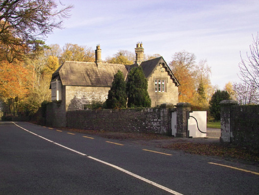 Gowran Castlegate lodge · 1396 yd
 Bastionfort Wellholy well · 1.2 mi
 Red BogForest · 1.2 mi
 Ballyshanemore Cas. (in ruins)Castle, tower house · 1.4 mi
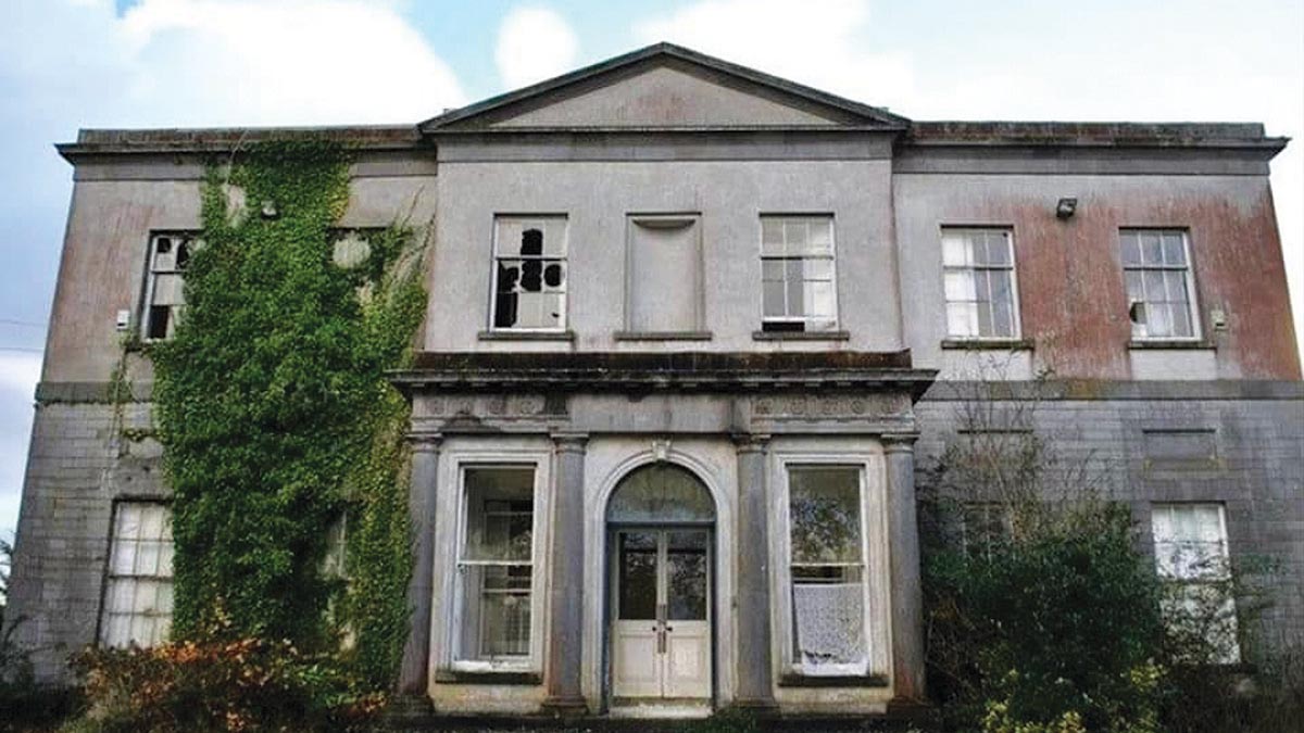 Bawn in Gowran DemesneBawn · 1.4 mi
 The Pey FieldForest · 1.6 mi
 Tullaherin Church and Round TowerVisitor information · 2.9 mi
 Kilbline GraveyardArchaeological place · 3.7 mi
 Time CapsuleMemorial · 3.9 mi
 St. Mogarra’s WellSpring · 4.5 mi
Other information
Photo: Credit not shown in the picture search · Rights wording not checked; contact us if this picture should be removed