What is recorded here
Immediately SW of Gowran, crossing a river which is a tributary of the River Barrow, which flows c. 5km to the E. Castle Ellis Bridge is c. 130m E of Castle Ellis townland. An early 18th-century map of Gowran indicated the ‘Long Bridg’ at this location (White 1710/11).
A flat, three-arched bridge of roughly coursed limestone rubble with squared voussoirs on the W side and two cutwaters on either side. The parapet (H 1m) has round profile concrete capping. There are elongated, stone capped, approach walls.
It is possible that this bridge contains 17th-century fabric and that the original bridge was subsequently widened.
See attached:
KK020-060016-_01 Bridge indicated on White map 1710/11.
Compiled by: Jean Farrelly
Date of upload: 25 March 2021
The monument record does not grant public access. Check the route and ask the landowner before entering private land.
- What survives
- Recorded monument
Places near here
 Castle Ellis Bridgebridge · 1 yd
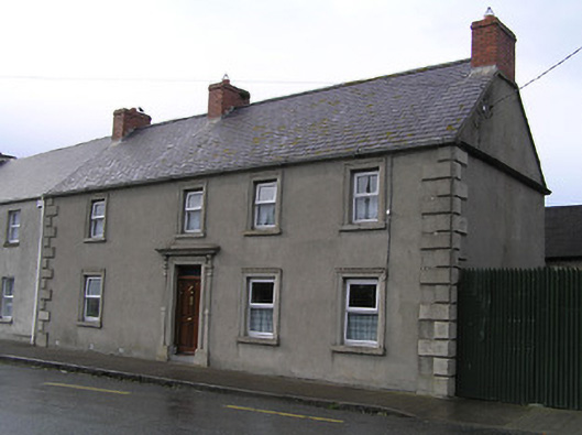 Bridge Househouse · 139 yd
 Ballyshanemore Cas. (in ruins)Castle, tower house · 434 yd
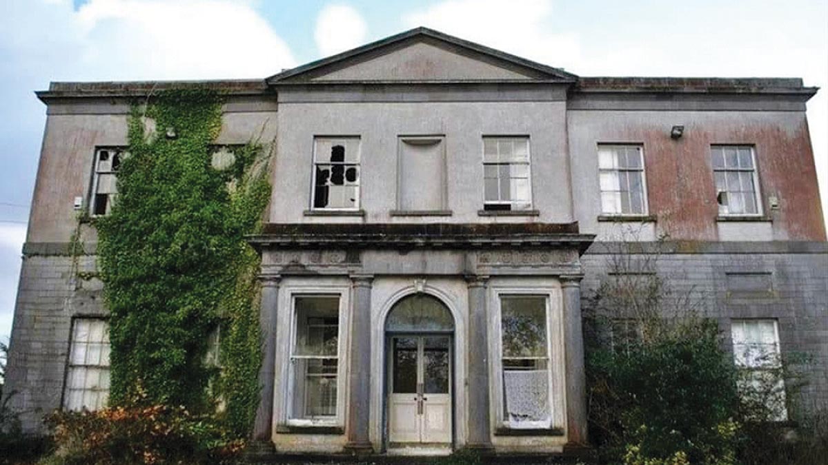 Bawn in Gowran DemesneBawn · 464 yd
 CrossCross, Market cross (present location) · 507 yd
 Font in GowranFont · 603 yd
 Red BogForest · 2.1 mi
 The Pey FieldForest · 2.9 mi
 Tullaherin Church and Round TowerVisitor information · 4.1 mi
 St. Mogarra’s WellSpring · 4.5 mi
 Kilbline GraveyardArchaeological place · 4.9 mi
 Time CapsuleMemorial · 5.1 mi