
What is recorded here
The southern half of a roughly circular enclosure (diam. c. 50m) is indicated on the 1st (1839) ed. OS 6-inch map, with a quarry c. 100m to the E. The enclosure is not indicated on the 1899-1902 revision of the 1st ed. map. The enclosure, defined by bank in 1960, appears to have been levelled in the early 1960s as part of Land Project Works (OPW correspondence, 20 October 1960 and 5 November 1960). The fosse is visible as a circular cropmark on an aerial photograph (CUCAP AVL082, 15 July 1968) and on satellite imagery (Google Earth, imagery date 13 August 2015).
See attached:
KK024-026----_01 satellite imagery (Google Earth, imagery date 13 August 2015)
KK024-026----_02 aerial photograph (CUCAP AVL082, 15 July 1968)
Compiled by: Jean Farrelly
Date of upload: 27 September 2021
The monument record does not grant public access. Check the route and ask the landowner before entering private land.
- What survives
- Recorded monument
Places near here
 Enclosure in BodalEnclosure · 818 yd
 Enclosure in Cloghala (gowran By., Bennettsbridge Ed)Enclosure · 960 yd
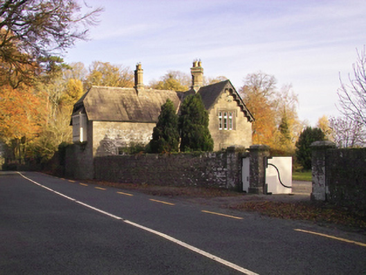 Gowran Castlegate lodge · 1238 yd
 Red BogForest · 1374 yd
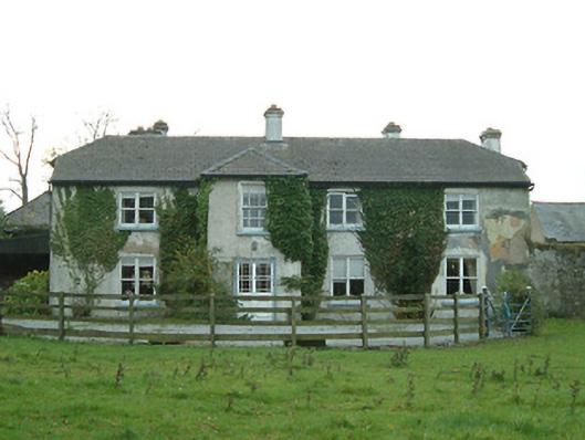 Cloghala Housefarmyard complex · 1.1 mi
 Ballynaboley Castle (in ruins)Castle, tower house · 1.4 mi
 The Pey FieldForest · 1.4 mi
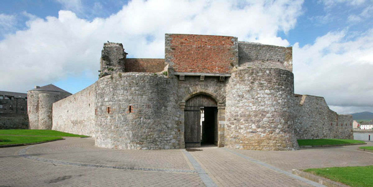 Site of Dungarvan CastleCastle, tower house · 1.5 mi
 Tullaherin Church and Round TowerVisitor information · 2.6 mi
 Kilbline GraveyardArchaeological place · 3.5 mi
 Time CapsuleMemorial · 3.9 mi
 St. Mogarra’s WellSpring · 5.0 mi
Other information
Photo: Credit not shown in the picture search · Rights wording not checked; contact us if this picture should be removed