
What is recorded here
Situated in grassland. Cropmark of circular-shaped area (approx. diam. 55m N-S; 50m E-W) defined by a differential growth of the vegetation that is visible on Digital Globe aerial photograph. The site is not depicted on any edition of the OS 6-inch maps.
Compiled by: Caimin O'Brien based on details kindly provided by Edmond O'Donovan
Date of upload: 27 March 2018
A local fairy fort (ringfort/rath); wider significance not recorded.
The monument record does not grant public access. Check the route and ask the landowner before entering private land.
- What survives
- Recorded monument
Places near here
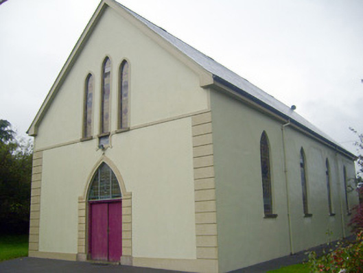 Saint Joseph's Catholic Churchchurch/chapel · 537 yd
 Earthwork in AbbeyEarthwork · 766 yd
 ToberpatrickSpring · 865 yd
 Gooseberry HillMountain / peak · 904 yd
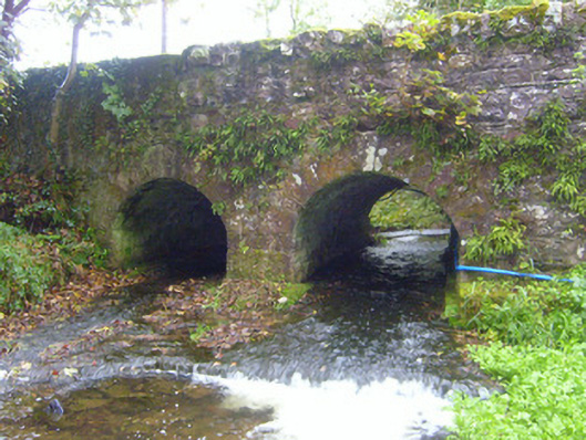 bridgebridge · 911 yd
 Keale MountainMountain / peak · 1198 yd
 Castle OliverCastle · 1351 yd
 Cist in Ballinlyna UpperCist · 1677 yd
 Site of CastleCastle, unclassified · 1.9 mi
 Ballyhoura tourist informationVisitor information · 2.6 mi
 Ballyhoura WayWalking route · 2.6 mi
 Palatine's RockNamed rock · 2.7 mi
Other information
Photo: Credit not shown in the picture search · Rights wording not checked; contact us if this picture should be removed