
What is recorded here
Cropmark (CASAP) shows bivallate circular enclosure (diam. c. 30m), with three fosses, narrowing progressively from inner to outer. Entrance to NE; outer two fosses inturn slightly at entrance. Adjacent linear features (CO045---) in field to NE.
The above description is derived from the published 'Archaeological Inventory of County Cork. Volume 2: East and South Cork' (Dublin: Stationery Office, 1994). In certain instances the entries have been revised and updated in the light of recent research.
Date of upload/revision: 14 January 2009
A local fairy fort (ringfort/rath); wider significance not recorded.
The monument record does not grant public access. Check the route and ask the landowner before entering private land.
- What survives
- Recorded monument
Places near here
 Field system in BallyarraField system · 147 yd
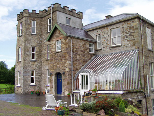 Kilcor Castlecountry house · 1084 yd
 Castle (Site of)Castle, unclassified · 1102 yd
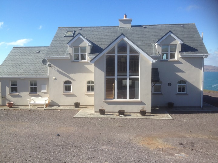 Fulacht fia in Kilcor NorthFulacht fia · 1283 yd
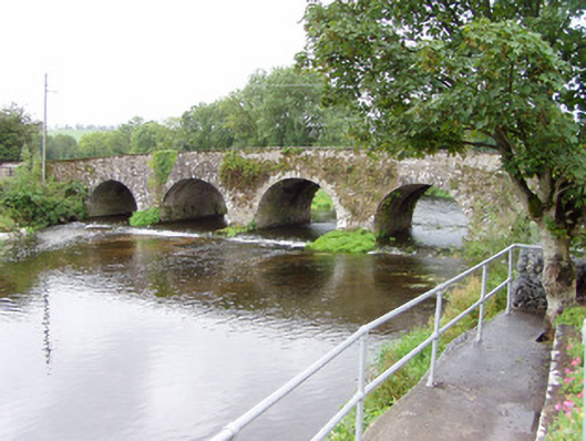 Bride Bridgebridge · 1472 yd
 Barrymore Castle or Castle LyonsHouse, fortified house · 1.2 mi
 Strawhall WoodForest · 3.7 mi
 Ballybrack WoodForest · 4.1 mi
 Devonshire's HillMountain / peak · 4.9 mi
 Old Railway ViaductViewpoint · 5.1 mi
 Kent BridgeMemorial · 5.1 mi
 Tourist InformationVisitor information · 5.2 mi
Other information
Photo: Credit not shown in the picture search · Rights wording not checked; contact us if this picture should be removed