What is recorded here
Killawolin graveyard still stands beside the sub-rectangular enclosure in Deerpark, while the older boundary waits underneath soil and grass. Eamonn Cotter identified that hidden shape on an aerial photograph before telling the Archaeological Survey of Ireland on 23 September 2013. The place may have served worship long before the graveyard gave it a familiar name.
This monument was reported to the Archaeological Survey of Ireland by Eamonn Cotter on 23 September 2013. He describes it as 'a sub-rectangular enclosure to the southeast of Killawillin graveyard' evident on Google Earth aerial photograph.
Compiled by: Denis Power
Date of upload: 23 September 2013
The monument record does not grant public access. Check the route and ask the landowner before entering private land.
- What survives
- Recorded monument
Places near here
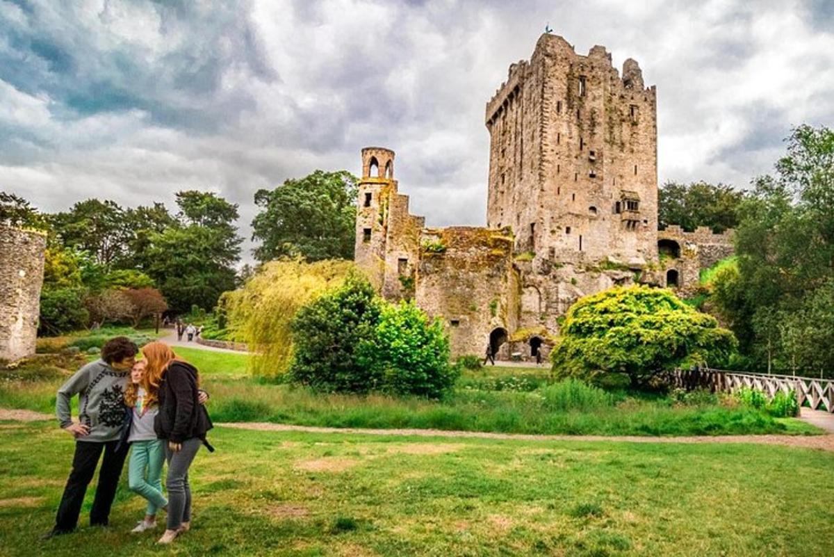 Killawillin Church (Site of)Church · 87 yd
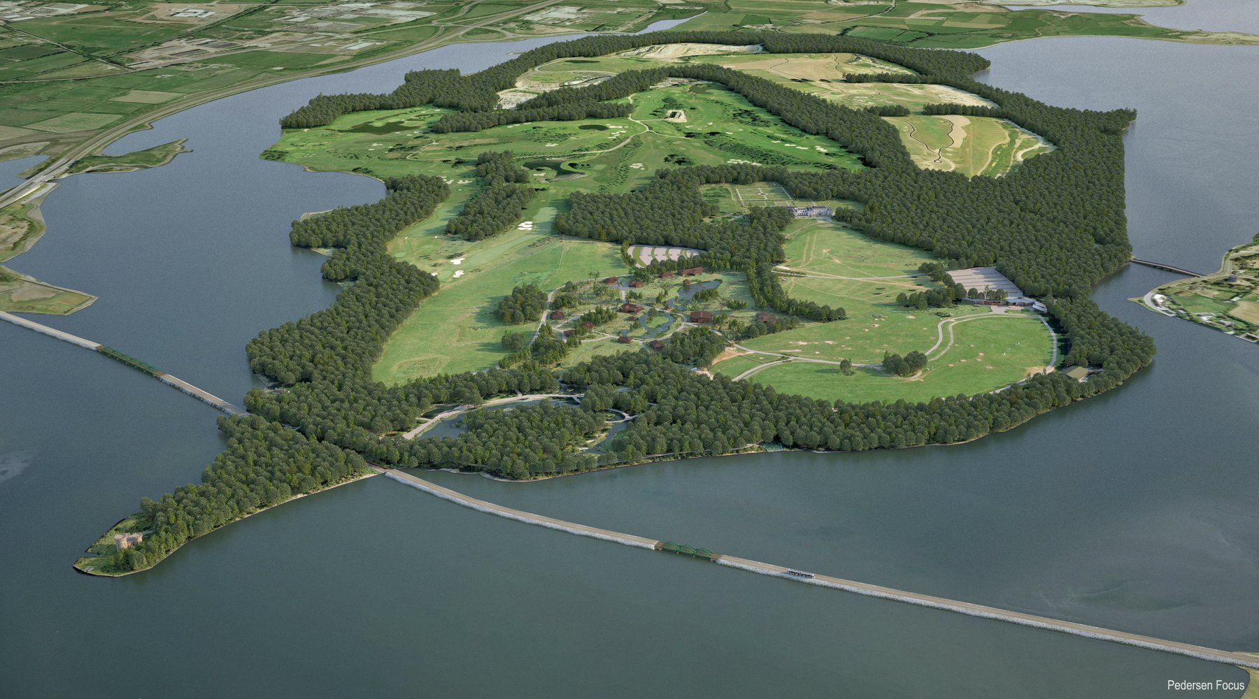 Fulacht fia in Deerpark (barrymore By.)Fulacht fia · 243 yd
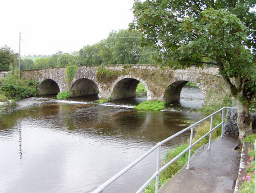 Bride Bridgebridge · 544 yd
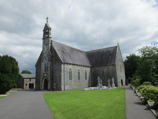 Saint Nicholas' Churchchurch/chapel · 776 yd
 Barrymore Castle or Castle LyonsHouse, fortified house · 1662 yd
 Castle (Site of)Castle, unclassified · 1.2 mi
 Rathcormac massacremassacre · 2.2 mi
 Strawhall WoodForest · 3.6 mi
 Ballybrack WoodForest · 3.9 mi
 Devonshire's HillMountain / peak · 4.1 mi
 Kent BridgeMemorial · 5.0 mi
 Graveyard in FermoyGraveyard · 5.0 mi