
What is recorded here
Visible on an aerial photograph (GSI N438-7) as a rectangular enclosure (est. dims. L c. 40m E-W; Wth c. 30m). On level pasture overlooking a gentle W-facing slope. No visible surface trace survives.
Compiled by: Gearóid Conroy
Date of upload: 10 June 2011
A local fairy fort (ringfort/rath); wider significance not recorded.
The monument record does not grant public access. Check the route and ask the landowner before entering private land.
- What survives
- Recorded monument
Places near here
 Enclosure in NewparkEnclosure · 540 yd
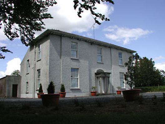 presbytery/parochial/curate's housepresbytery/parochial/curate's house · 810 yd
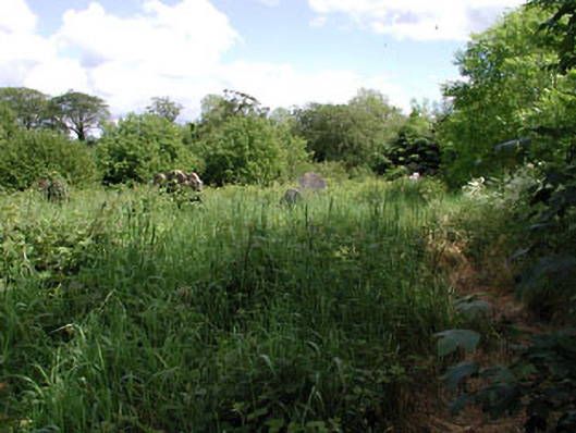 graveyard/cemeterygraveyard/cemetery · 898 yd
 Site of ChurchChurch · 990 yd
 Kilmeague CastleRuins · 1271 yd
 Bawn in Grangeclare WestBawn · 1559 yd
 Hill of AllenMountain / peak · 1.3 mi
 Grand Canal WayVisitor information · 2.3 mi
 Pollardstown Fen Nature ReserveNature reserve · 4.0 mi
 Lullymore Heritage ParkHeritage attraction · 4.3 mi
 Killina BogWood · 4.3 mi
 Bithia Mary CrokerMemorial · 6.1 mi
Other information
Photo: Credit not shown in the picture search · Rights wording not checked; contact us if this picture should be removed