Places near here
Photo credits
- National Inventory of Architectural Heritage
- Eoghan888 at English Wikipedia, Wikimedia Commons · Public domain
- Mike Searle, Geograph · CC BY-SA 2.0
- Jonathan Billinger, Wikimedia Commons · CC BY-SA 2.0
- Picture: kildaregaa.ie
- 瑞丽江的河水, Wikimedia Commons · CC BY-SA 4.0
- Colin Park, Geograph · CC BY-SA 2.0
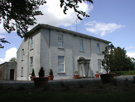 presbytery/parochial/curate's house156 yd
Explorer Tom Presbytery in Russellstown is currently in a heated fairy dispute over who gets to park their carriage where. The…
 Hill of AllenMountain / peak · 1398 yd
Explorer Tom The Hill of Allen has given its name to a great bog, hosted stories of Fionn mac Cumhaill, and still found room for a…
 Allen TowerDesigned landscape, folly · 1400 yd
Explorer Tom Allen Tower stands on a cliff edge where the quarry ate half the hill, making it look like a very nervous giant about…
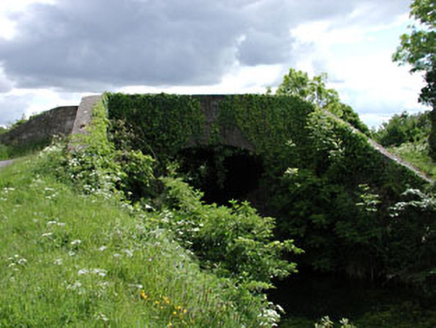 Pim BridgeBridge · 1516 yd
Explorer Tom Pim Bridge: There is definitely a biscuit tin hidden under this bridge in Newpark, probably left there by a very…
 farm house1.0 mi
Explorer Tom Farm house in Kilmeage would bring a wheelbarrow of potatoes and a very confused sheep to any party. It stands there…
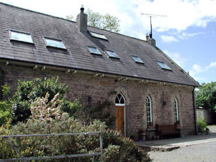 The Old School HouseSchool · 1.0 mi
Explorer Tom The Old School House in Kilmeage is dusting off its chalkboard memories. A goat once ruled it and demanded snacks for…
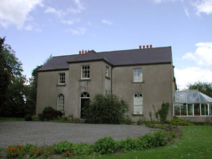 Rathernan HouseRectory/glebe/vicarage/curate's house · 1.1 mi
Explorer Tom Rathernan House was built by the Board of First Fruits, which sounds like a very expensive fruit salad gone wrong. The…
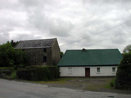 mill (water)1.3 mi
Explorer Tom Mill in Pluckerstown has a bird that refuses to leave, claiming it owns the place since before you were born. The stone…
 Ballyteague GAA pitchGAA ground · 1.9 mi
 Rath Turtle MoatArchaeological place · 13 mi
Explorer Tom Rath Turtle Moat sits on a hilltop in Glen Ding Wood near Blessington, reached through a mix of deciduous and conifer…
 LobawnMountain / peak · 20 mi
Explorer Tom Lobawn in County Wicklow is playing hide-and-seek with me, hiding behind its own boring boundary stone which claims…
 SugarloafMountain / peak · 20 mi
Explorer Tom Tell someone you climbed Sugarloaf and they may picture the wrong Wicklow mountain entirely. This one stands west of…
More historic places in County Kildare · All of County Kildare

What do you know about this place?Tap to add a comment or ask a question