
What is recorded here
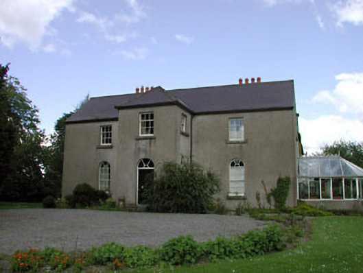
Detached three-bay two-storey farmhouse, extant 1901, on an L-shaped plan; two-bay (north) or single-bay (south) two-storey side elevations. Hipped and pitched slate roof on an L-shaped plan with perforated crested terracotta ridge tiles, paired red brick Running bond central chimney stacks having stringcourses below corbelled stepped capping supporting yellow terracotta octagonal pots, and cast-iron rainwater goods on red brick header bond ogee cornice. Part repointed coursed rubble stone walls with brick flush quoins to corners. Camber-headed central door opening with cut-granite step threshold, and moulded rendered surrounds framing timber panelled door having overlight. Square-headed window openings with cut-granite sills, and part rendered brick block-and-start surrounds framing one-over-one timber sash windows. Square-headed window openings (side elevations) with cut-granite sills, and part rendered brick block-and-start surrounds framing two-over-two timber sash windows. Set back from line of road with rendered brick piers to perimeter having cut-granite pyramidal capping supporting flat iron gate.
A farmhouse representing an integral component of the later nineteenth-century domestic built heritage of Kilmeage with the architectural value of the composition suggested by such attributes as the compact plan form centred on a restrained doorcase; and the uniform or near uniform proportions of the widely spaced openings on each floor. Having been well maintained, the form and massing survive intact together with substantial quantities of the original fabric, both to the exterior and to the interior, thus upholding the character or integrity of the composition. Furthermore, adjacent outbuildings (----) continue to contribute positively to the setting of a farmhouse making a pleasing visual statement in a rural street scene.
This does not grant access. Most recorded buildings are privately owned; view them only from public ground unless the owner allows entry.
Places near here
 Kilmeague CastleRuins · 179 yd
 Rathernan Houserectory/glebe/vicarage/curate's house · 360 yd
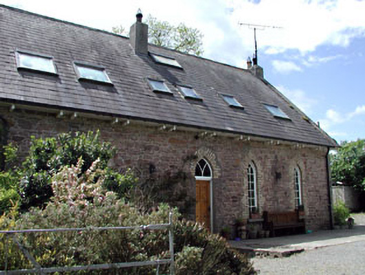 The Old School Houseschool · 616 yd
 Enclosure in BallintineEnclosure · 1450 yd
 Site of ChurchChurch · 1.0 mi
 Bawn in Grangeclare WestBawn · 1.1 mi
 Grand Canal WayVisitor information · 1.7 mi
 Hill of AllenMountain / peak · 1.8 mi
 Museum of MotorsportMuseum · 3.8 mi
 Ballynafagh Bog Special Area of ConservationNature reserve · 3.9 mi
 Pollardstown Fen Nature ReserveNature reserve · 4.2 mi
 Bithia Mary CrokerMemorial · 6.9 mi
Other information
Photo: Jonathan Billinger · CC BY-SA 2.0