
What is recorded here
On the possible site of an unclassified castle (KD013-02----). A shallow L-shaped fosse (Wth 4-6m; D 0.2-0.5m) is traceable for c. 60m running in a NW-SE direction and then right-angling at the SE end to run a further c. 80m NE. It is infilled with a loose, dark, rich organic material which may have come from one of the several garden centres in the area. In 2004, archaeological test-trenching (Licence No. 04E0368) in advance of the construction of a private dwelling house immediately to the W, and its associated driveway to the S, revealed no archaeological deposits. (Purcell 2007, 197 (No. 823))
Compiled by: Gearóid Conroy
Date of upload: 10 June 2011
A local castle; wider significance not recorded.
The monument record does not grant public access. Check the route and ask the landowner before entering private land.
- What survives
- Recorded monument
Places near here
 Site of ChurchChurch · 704 yd
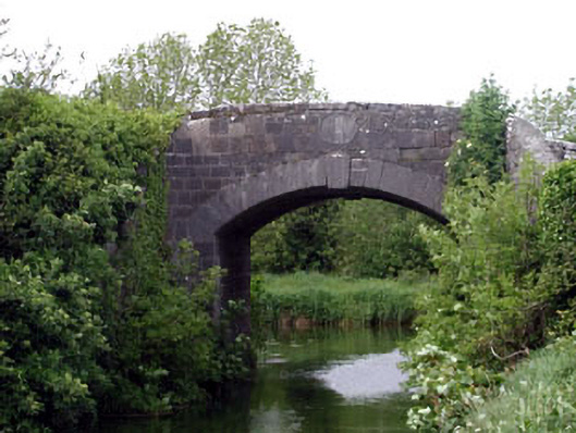 Huband Bridgebridge · 1003 yd
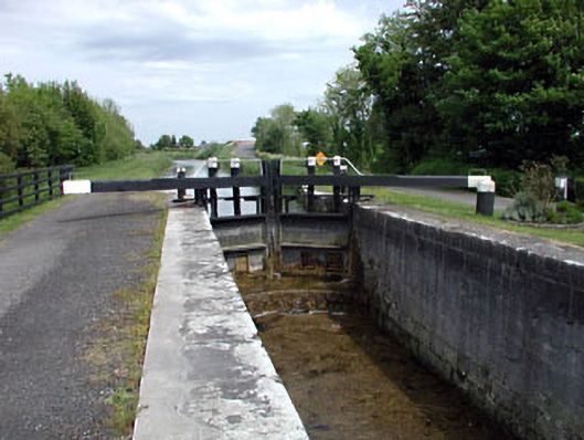 19th Locklock · 1091 yd
 Enclosure in Lowtown (kilmeage South Ed)Enclosure · 1221 yd
 Kilmeague CastleRuins · 1750 yd
 Grand Canal WayVisitor information · 1.8 mi
 Hill of AllenMountain / peak · 2.1 mi
 Blackwood Castle (in ruins)Castle, tower house · 2.8 mi
 Killina BogWood · 3.9 mi
 Ballynafagh Bog Special Area of ConservationNature reserve · 3.9 mi
 Lullymore Heritage ParkHeritage attraction · 4.1 mi
 Bithia Mary CrokerMemorial · 6.5 mi
Other information
Photo: Credit not shown in the picture search · Rights wording not checked; contact us if this picture should be removed