What is recorded here
Described in 1972 as a roughly oval-shaped rath (diams. 59m E-W; 44m N-S) defined by an inner bank of earth and stone, which was hedged as a field boundary and gapped at W and S, and by an outer fosse. By 1986, the monument had been reduced to a low rise (H 0.6m) surrounded by a cropmark of thistles (SMR file). On a gentle S-facing pasture slope. The monument is still visible as a very slightly raised, oval area but later field boundaries, shown on the 1st (1838) and latest ed. (1910) of the OS 6-inch map radiating off the monument at NNW, NE, S and WNW, have been extended to join up in the interior of the site.
Compiled by: Gearóid Conroy
Date of upload: 10 June 2011
The monument record does not grant public access. Check the route and ask the landowner before entering private land.
- What survives
- Recorded monument
Places near here
 farm housefarm house · 205 yd
 Kilmeague CastleRuins · 302 yd
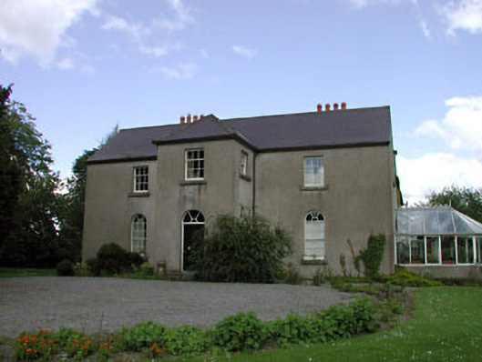 Rathernan Houserectory/glebe/vicarage/curate's house · 497 yd
 Enclosure in BallintineEnclosure · 1516 yd
 Bawn in Grangeclare WestBawn · 1728 yd
 Site of ChurchChurch · 1.0 mi
 Grand Canal WayVisitor information · 1.6 mi
 Hill of AllenMountain / peak · 1.9 mi
 Museum of MotorsportMuseum · 3.8 mi
 Ballynafagh Bog Special Area of ConservationNature reserve · 3.8 mi
 Pollardstown Fen Nature ReserveNature reserve · 4.3 mi
 Bithia Mary CrokerMemorial · 7.0 mi