What is recorded here
The following description is derived from both the published 'Archaeological Inventory of County Louth' (Dublin: Stationery Office, 1986) and the 'Archaeological Survey of County Louth' (Dublin: Stationery Office, 1991). In certain instances the entries have been revised and updated in the light of recent research.
Date of upload/revision: 17 July 2007
Current 1:2500 OS 6-inch map shows an oval platform (max. dims. c. 32m E-W, c. 26m N-S) surrounded by remains of bank between two fosses. No visible surface traces.
The monument record does not grant public access. Check the route and ask the landowner before entering private land.
- What survives
- Recorded monument
Places near here
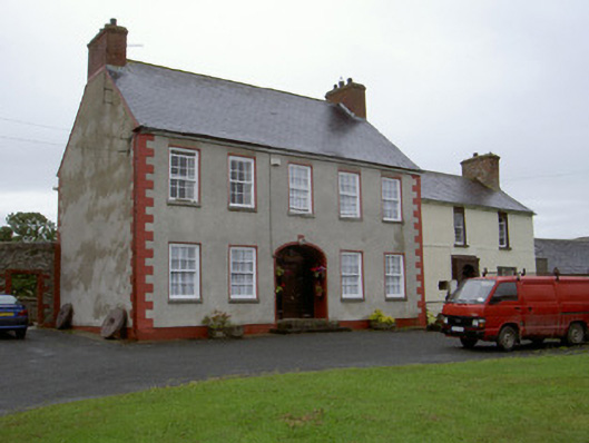 Clonaleenaghan Househouse · 555 yd
 Man-made underground passage in CarrickastuckMan-made underground passage · 1428 yd
 Man-made underground passage in CunnicarMan-made underground passage · 1.0 mi
 CastleCastle, unclassified · 1.2 mi
 Church in KillaconnerChurch · 1.9 mi
 Bawn in Shortstone EastBawn · 2.1 mi
 Ballsmill Amenity LandPicnic place · 2.9 mi
 Sky HillMountain / peak · 3.1 mi
 MEDIEVAL & POST-MED. CHURCH & GRAVEYARD in Creggan Bane GlebeMEDIEVAL & POST-MED. CHURCH & GRAVEYARD · 4.0 mi
 Battle of Newry Roadbattle · 4.3 mi
 Irish Hunger StrikersMemorial · 4.7 mi
 Mass Rock Loop TrailWalking route · 4.8 mi
Other information
Photo: Credit not shown in the picture search · Rights wording not checked; contact us if this picture should be removed