
What is recorded here
The 1836 edition of the OS 6-inch map depicts a semi-circular embankment (int. dim. c. 70m NW-SE; ext. dim. c. 130m NW-SE) surviving SE-W-NW, on the W side of a NNW-SSE road. St Columba's Church of Ireland church and graveyard were constructed within the embankment in the late 19th century, but the church is now abandoned and only the tower survives. There is evidence of three headstones within the southern portion of the enclosure, and one burial (ME032-070----) on top of the embankment at W was uncovered in 1967. These burials are probably relatively modern internments and associated with the use of the church, but the enclosure is defined by a pre-existing and substantial but overgrown earthen bank (Wth c. 5-10m; H c. 1-2m).
Compiled by: Michael Moore
Date of upload: 19 April, 2016
The monument record does not grant public access. Check the route and ask the landowner before entering private land.
- What survives
- Recorded monument
Places near here
 Enclosure in LismullinEnclosure · 452 yd
 Sit of Old MonasteryReligious house, Augustinian nuns · 703 yd
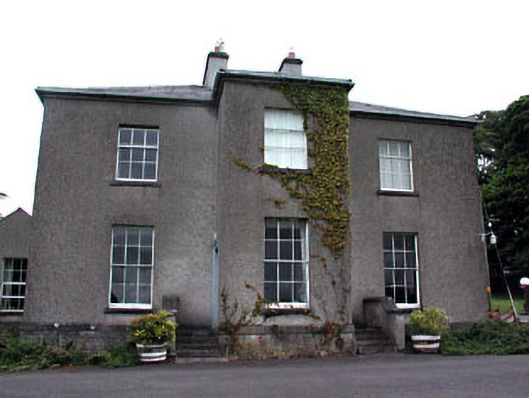 Skryne Rectoryrectory/glebe/vicarage/curate's house · 1421 yd
 St. Columbkilles WellHoly well · 1685 yd
 Skreen CastleCastle, tower house · 1.3 mi
 CastleCastle, motte · 1.3 mi
 Hill of TaraVisitor information · 1.5 mi
 Tara Open StudioGallery · 1.5 mi
 Saint Patrick'sMemorial · 1.5 mi
 Candle HillMountain / peak · 1.7 mi
 Battle of Tara Hillbattle · 1.7 mi
 Battle of Tara (Ireland)Major battlefield · 1.7 mi
Other information
Photo: Credit not shown in the picture search · Rights wording not checked; contact us if this picture should be removed